Dahot geodata
Dahot (East Nusa Tenggara) is a seat of a fourth-order administrative division; located in Indonesia in Asia/Makassar (GMT+8) time zone. In our database, there are 407 cities with bigger population. Compared to other cities in Indonesia, 88.1% of cities are located further ↑North; 82.9% of cities are located further ←West and 60.5% of cities have lower elevation than Dahot. Note1


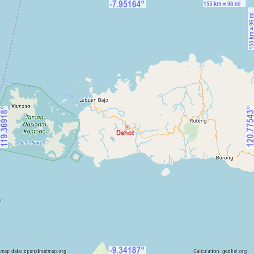
Dahot GPS coordinates[2]
8° 38' 50.64" South, 120° 4' 20.28" East
| Map corner | latitude | longitude |
|---|---|---|
| Upper-left | -7.95164°, | 119.36918° |
| Center: | -8.6474°, | 120.0723° |
| Lower-right: | -9.34187°, | 120.77543° |
| Map W x H: | 154.6×154.6 km | = 96.1×96.1mi |
| max Lat: | 5.88969° ⇑88.1% North |
| Dahot: | -8.6474° |
| min Lat: | ⇓11.9% South -10.934° |
| min Long | Dahot | max Long |
| 95.1345° | 120.0723° | 140.9419° |
| W 82.9%⇐ | ⇒17.1% E |
Elevation
Elevation of Dahot is 169 m = 554 ft, and this is 60.7 m = 199 ft below average elevation for this country.
| Max E: |
3185 m = 10449 ft | 39.5% |
| Avg. | 229.7 m = 754 ft | |
| Dahot | 169 m = 554 ft | |
Min E: |
-1 m = -3 ft | 60.5% |
See also: Indonesia elevation on elevation.city.
Geographical zone
Dahot is located in South Torrid zone (between Equator and Tropic of Capricorn). Distance of Equator is 961.5 km =597.4 mi to North.| Distance of | km | miles | from Dahot |
|---|---|---|---|
| Equator | 961.5 | 597.4 | to North |
| Tropic Capricorn | 1644.4 | 1021.8 | to South |
| Antarctic Circle | 6439.7 | 4001.4 | to South |
| South Pole | 9045.6 | 5620.7 | to South |


Nearby cities:
15 places around Dahot: (largest is in red/bold)
• Bambor
4.1 km =2.5 mi,  340°
340°
• Betong
14.8 km =9.2 mi,  349°
349°
• Golondalas
8.4 km =5.2 mi,  314°
314°
• Handeng
14.8 km =9.2 mi,  27°
27°
• Laci
6.4 km =4 mi,  143°
143°
• Mberheleng
15.1 km =9.4 mi,  357°
357°
• Melo
13.4 km =8.3 mi,  294°
294°
• Ndewel
7.5 km =4.7 mi, 339°
• Nunang
11 km =6.8 mi,  222°
222°
• Rambang
2.9 km =1.8 mi,  268°
268°
• Ranggawatu
5 km =3.1 mi,  321°
321°
• Teongtoda
7.5 km =4.7 mi, 273°
• Tohong
12.6 km =7.8 mi, 322°
• Tondongraja
7.3 km =4.5 mi, 347°
• Werang
6.8 km =4.2 mi, 268°
Sources, notices
• [Note1] Compared only with cities in Indonesia existing in our database
• [Src1] Map data: © OpenStreetMap contributors (CC-BY-SA)
• [Src2] Other city data from geonames.org with taken over terms of usage.
• [Src3] Geographical zone / Annual Mean Temperature by Robert A. Rohde @ Wikipedia
