Wewoloe geodata
Wewoloe (East Nusa Tenggara) is a seat of a fourth-order administrative division; located in Indonesia in Asia/Makassar (GMT+8) time zone. In our database, there are 407 cities with bigger population. Compared to other cities in Indonesia, 84.6% of cities are located further ↑North; 86.3% of cities are located further ←West and 65.6% of cities have higher elevation than Wewoloe. Note1


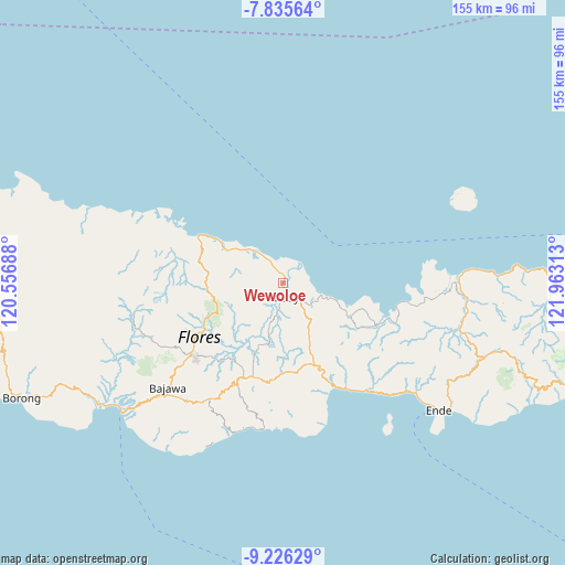
Wewoloe GPS coordinates[2]
8° 31' 53.76" South, 121° 15' 36" East
| Map corner | latitude | longitude |
|---|---|---|
| Upper-left | -7.83564°, | 120.55688° |
| Center: | -8.5316°, | 121.26° |
| Lower-right: | -9.22629°, | 121.96313° |
| Map W x H: | 154.6×154.6 km | = 96.1×96.1mi |
| max Lat: | 5.88969° ⇑84.6% North |
| Wewoloe: | -8.5316° |
| min Lat: | ⇓15.4% South -10.934° |
| min Long | Wewoloe | max Long |
| 95.1345° | 121.26° | 140.9419° |
| W 86.3%⇐ | ⇒13.7% E |
Elevation
Elevation of Wewoloe is 41 m = 135 ft, and this is 188.7 m = 619 ft below average elevation for this country.
| Max E: |
3185 m = 10449 ft | 65.6% |
| Avg. | 229.7 m = 754 ft | |
| Wewoloe | 41 m = 135 ft | |
Min E: |
-1 m = -3 ft | 34.4% |
See also: Indonesia elevation on elevation.city.
Geographical zone
Wewoloe is located in South Torrid zone (between Equator and Tropic of Capricorn). Distance of Equator is 948.6 km =589.4 mi to North.| Distance of | km | miles | from Wewoloe |
|---|---|---|---|
| Equator | 948.6 | 589.4 | to North |
| Tropic Capricorn | 1657.3 | 1029.8 | to South |
| Antarctic Circle | 6452.5 | 4009.4 | to South |
| South Pole | 9058.4 | 5628.6 | to South |


Nearby cities:
15 places around Wewoloe: (largest is in red/bold)
• Baobe
6.3 km =3.9 mi,  207°
207°
• Boanio
13.7 km =8.5 mi,  149°
149°
• Doma
18.6 km =11.6 mi,  156°
156°
• Gero
20.7 km =12.9 mi,  202°
202°
• Jawakisa
14.9 km =9.3 mi, 195°
• Jawatiwa
19.7 km =12.2 mi,  173°
173°
• Malabai
12.4 km =7.7 mi,  254°
254°
• Malapaubhara
19.6 km =12.2 mi,  229°
229°
• Malawona
9.7 km =6 mi, 199°
• Mbay
3.5 km =2.2 mi, 158°
• Nanganumba
8 km =5 mi,  329°
329°
• Nila Dua
3.2 km =2 mi,  42°
42°
• Tungguwaneng
16.6 km =10.3 mi,  304°
304°
• Uluwolo
5.9 km =3.7 mi, 145°
• Watuapi
19.8 km =12.3 mi,  116°
116°
Sources, notices
• [Note1] Compared only with cities in Indonesia existing in our database
• [Src1] Map data: © OpenStreetMap contributors (CC-BY-SA)
• [Src2] Other city data from geonames.org with taken over terms of usage.
• [Src3] Geographical zone / Annual Mean Temperature by Robert A. Rohde @ Wikipedia
