Cilaja geodata
Cilaja (Banten) is a seat of a fourth-order administrative division; located in Indonesia in Asia/Jakarta (GMT+7) time zone. In our database, there are 407 cities with bigger population. Compared to other cities in Indonesia, 86.7% of cities are located further ↓South; 89.7% of cities are located further →East and 70.1% of cities have lower elevation than Cilaja. Note1


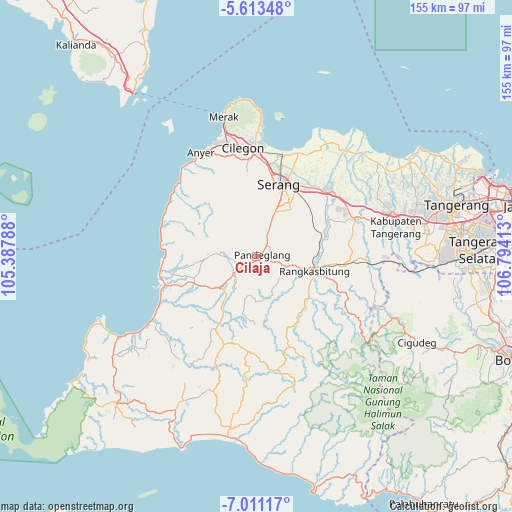
Cilaja GPS coordinates[2]
6° 18' 46.08" South, 106° 5' 27.6" East
| Map corner | latitude | longitude |
|---|---|---|
| Upper-left | -5.61348°, | 105.38788° |
| Center: | -6.3128°, | 106.091° |
| Lower-right: | -7.01117°, | 106.79413° |
| Map W x H: | 155.4×155.4 km | = 96.6×96.6mi |
| max Lat: | 5.88969° ⇑13.3% North |
| Cilaja: | -6.3128° |
| min Lat: | ⇓86.7% South -10.934° |
| min Long | Cilaja | max Long |
| 95.1345° | 106.091° | 140.9419° |
| W 10.3%⇐ | ⇒89.7% E |
Elevation
Elevation of Cilaja is 292 m = 958 ft, and this is 62.3 m = 204 ft above average elevation for this country.
| Max E: |
3185 m = 10449 ft | 29.9% |
| Cilaja | 292 m 958 ft | |
| Avg. | 229.7 m = 754 ft | |
Min E: |
-1 m = -3 ft | 70.1% |
See also: Indonesia elevation on elevation.city.
Geographical zone
Cilaja is located in South Torrid zone (between Equator and Tropic of Capricorn). Distance of Equator is 701.9 km =436.1 mi to North.| Distance of | km | miles | from Cilaja |
|---|---|---|---|
| Equator | 701.9 | 436.1 | to North |
| Tropic Capricorn | 1904 | 1183.1 | to South |
| Antarctic Circle | 6699.3 | 4162.8 | to South |
| South Pole | 9305.1 | 5781.9 | to South |


Nearby cities:
15 places around Cilaja: (largest is in red/bold)
• Campraksanta
1.9 km =1.2 mi,  309°
309°
• Cibebek
3.6 km =2.2 mi,  206°
206°
• Cidahu
3.8 km =2.4 mi,  272°
272°
• Ciekek
1.3 km =0.8 mi,  131°
131°
• Cipacung Landeuh
2 km =1.2 mi, 207°
• Gardutanjak
1.1 km =0.7 mi,  92°
92°
• Girihieum
3.2 km =2 mi,  228°
228°
• Juhut
2.6 km =1.6 mi,  41°
41°
• Kabayancitiis
2.1 km =1.3 mi, 86°
• Kadomas
2.8 km =1.7 mi, 130°
• Kadumantung
4 km =2.5 mi,  49°
49°
• Keboncau
1.7 km =1.1 mi,  66°
66°
• Majamasjid
1.8 km =1.1 mi,  172°
172°
• Pandeglang
1.8 km =1.1 mi, 74°
• Penikebon
3.3 km =2.1 mi,  186°
186°
Sources, notices
• [Note1] Compared only with cities in Indonesia existing in our database
• [Src1] Map data: © OpenStreetMap contributors (CC-BY-SA)
• [Src2] Other city data from geonames.org with taken over terms of usage.
• [Src3] Geographical zone / Annual Mean Temperature by Robert A. Rohde @ Wikipedia
