Natargran geodata
Natargran (East Nusa Tenggara) is a seat of a fourth-order administrative division; located in Indonesia in Asia/Makassar (GMT+8) time zone. In our database, there are 407 cities with bigger population. Compared to other cities in Indonesia, 87.2% of cities are located further ↑North; 88.9% of cities are located further ←West and 69.5% of cities have higher elevation than Natargran. Note1


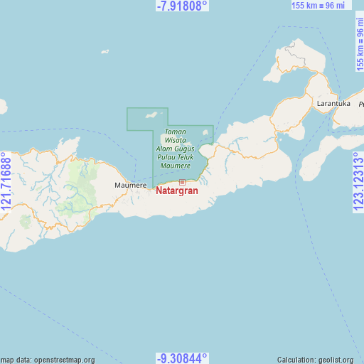
Natargran GPS coordinates[2]
8° 36' 50.04" South, 122° 25' 12" East
| Map corner | latitude | longitude |
|---|---|---|
| Upper-left | -7.91808°, | 121.71688° |
| Center: | -8.6139°, | 122.42° |
| Lower-right: | -9.30844°, | 123.12313° |
| Map W x H: | 154.6×154.6 km | = 96.1×96.1mi |
| max Lat: | 5.88969° ⇑87.2% North |
| Natargran: | -8.6139° |
| min Lat: | ⇓12.8% South -10.934° |
| min Long | Natargran | max Long |
| 95.1345° | 122.42° | 140.9419° |
| W 88.9%⇐ | ⇒11.1% E |
Elevation
Elevation of Natargran is 33 m = 108 ft, and this is 196.7 m = 645 ft below average elevation for this country.
| Max E: |
3185 m = 10449 ft | 69.5% |
| Avg. | 229.7 m = 754 ft | |
| Natargran | 33 m = 108 ft | |
Min E: |
-1 m = -3 ft | 30.5% |
See also: Indonesia elevation on elevation.city.
Geographical zone
Natargran is located in South Torrid zone (between Equator and Tropic of Capricorn). Distance of Equator is 957.8 km =595.1 mi to North.| Distance of | km | miles | from Natargran |
|---|---|---|---|
| Equator | 957.8 | 595.1 | to North |
| Tropic Capricorn | 1648.1 | 1024.1 | to South |
| Antarctic Circle | 6443.4 | 4003.7 | to South |
| South Pole | 9049.3 | 5623 | to South |


Nearby cities:
15 places around Natargran: (largest is in red/bold)
• Aibura
11.3 km =7 mi,  238°
238°
• Ewa
9.7 km =6 mi,  96°
96°
• Kawapante
14.1 km =8.8 mi,  255°
255°
• Kloangpopot
13.2 km =8.2 mi,  214°
214°
• Kloangrotat
11.8 km =7.3 mi,  231°
231°
• Koja Besar
14.2 km =8.8 mi,  348°
348°
• Magetlegar
12.1 km =7.5 mi,  218°
218°
• Nangahale
11.3 km =7 mi,  57°
57°
• Nangahaledoi
11.3 km =7 mi, 259°
• Natakoli
11.1 km =6.9 mi,  176°
176°
• Nitakloang
15.1 km =9.4 mi,  249°
249°
• Pedat
11.9 km =7.4 mi,  157°
157°
• Potet
14.5 km =9 mi, 238°
• Waigete
0.1 km =0.1 mi, 350°
• Watublapi
15.2 km =9.4 mi, 230°
Sources, notices
• [Note1] Compared only with cities in Indonesia existing in our database
• [Src1] Map data: © OpenStreetMap contributors (CC-BY-SA)
• [Src2] Other city data from geonames.org with taken over terms of usage.
• [Src3] Geographical zone / Annual Mean Temperature by Robert A. Rohde @ Wikipedia
