Pedat geodata
Pedat (East Nusa Tenggara) is a seat of a fourth-order administrative division; located in Indonesia in Asia/Makassar (GMT+8) time zone. In our database, there are 407 cities with bigger population. Compared to other cities in Indonesia, 89.6% of cities are located further ↑North; 88.9% of cities are located further ←West and 76.3% of cities have lower elevation than Pedat. Note1


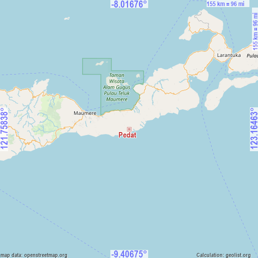
Pedat GPS coordinates[2]
8° 42' 44.64" South, 122° 27' 41.4" East
| Map corner | latitude | longitude |
|---|---|---|
| Upper-left | -8.01676°, | 121.75838° |
| Center: | -8.7124°, | 122.4615° |
| Lower-right: | -9.40675°, | 123.16463° |
| Map W x H: | 154.6×154.6 km | = 96.1×96.1mi |
| max Lat: | 5.88969° ⇑89.6% North |
| Pedat: | -8.7124° |
| min Lat: | ⇓10.4% South -10.934° |
| min Long | Pedat | max Long |
| 95.1345° | 122.4615° | 140.9419° |
| W 88.9%⇐ | ⇒11.1% E |
Elevation
Elevation of Pedat is 377 m = 1237 ft, and this is 147.3 m = 483 ft above average elevation for this country.
| Max E: |
3185 m = 10449 ft | 23.7% |
| Pedat | 377 m 1237 ft | |
| Avg. | 229.7 m = 754 ft | |
Min E: |
-1 m = -3 ft | 76.3% |
See also: Indonesia elevation on elevation.city.
Geographical zone
Pedat is located in South Torrid zone (between Equator and Tropic of Capricorn). Distance of Equator is 968.7 km =601.9 mi to North.| Distance of | km | miles | from Pedat |
|---|---|---|---|
| Equator | 968.7 | 601.9 | to North |
| Tropic Capricorn | 1637.2 | 1017.3 | to South |
| Antarctic Circle | 6432.4 | 3996.9 | to South |
| South Pole | 9038.3 | 5616.1 | to South |


Nearby cities:
15 places around Pedat: (largest is in red/bold)
• Aibura
15.1 km =9.4 mi,  289°
289°
• Baluk
17.6 km =10.9 mi,  258°
258°
• Ewa
11.1 km =6.9 mi,  26°
26°
• Habibola
10.8 km =6.7 mi,  247°
247°
• Kloangpopot
12.1 km =7.5 mi,  270°
270°
• Kloangrotat
14.3 km =8.9 mi,  284°
284°
• Magetlegar
12.2 km =7.6 mi, 277°
• Nangahale
17.8 km =11.1 mi,  16°
16°
• Nangahaledoi
18 km =11.2 mi,  299°
299°
• Natakoli
3.8 km =2.4 mi, 268°
• Natargran
11.9 km =7.4 mi,  337°
337°
• Natarmage
16.8 km =10.4 mi,  43°
43°
• Potet
17.2 km =10.7 mi, 280°
• Waigete
12 km =7.5 mi, 337°
• Watublapi
16.3 km =10.1 mi, 274°
Sources, notices
• [Note1] Compared only with cities in Indonesia existing in our database
• [Src1] Map data: © OpenStreetMap contributors (CC-BY-SA)
• [Src2] Other city data from geonames.org with taken over terms of usage.
• [Src3] Geographical zone / Annual Mean Temperature by Robert A. Rohde @ Wikipedia
