Doropeti geodata
Doropeti (West Nusa Tenggara) is a seat of a fourth-order administrative division; located in Indonesia in Asia/Makassar (GMT+8) time zone. In our database, there are 407 cities with bigger population. Compared to other cities in Indonesia, 78.7% of cities are located further ↑North; 79.3% of cities are located further ←West and 71.9% of cities have higher elevation than Doropeti. Note1


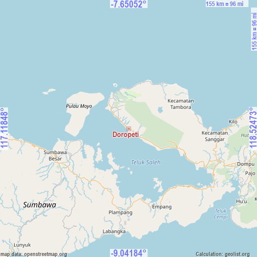
Doropeti GPS coordinates[2]
8° 20' 48.48" South, 117° 49' 17.76" East
| Map corner | latitude | longitude |
|---|---|---|
| Upper-left | -7.65052°, | 117.11848° |
| Center: | -8.3468°, | 117.8216° |
| Lower-right: | -9.04184°, | 118.52473° |
| Map W x H: | 154.7×154.7 km | = 96.1×96.1mi |
| max Lat: | 5.88969° ⇑78.7% North |
| Doropeti: | -8.3468° |
| min Lat: | ⇓21.3% South -10.934° |
| min Long | Doropeti | max Long |
| 95.1345° | 117.8216° | 140.9419° |
| W 79.3%⇐ | ⇒20.7% E |
Elevation
Elevation of Doropeti is 29 m = 95 ft, and this is 200.7 m = 658 ft below average elevation for this country.
| Max E: |
3185 m = 10449 ft | 71.9% |
| Avg. | 229.7 m = 754 ft | |
| Doropeti | 29 m = 95 ft | |
Min E: |
-1 m = -3 ft | 28.1% |
See also: Indonesia elevation on elevation.city.
Geographical zone
Doropeti is located in South Torrid zone (between Equator and Tropic of Capricorn). Distance of Equator is 928.1 km =576.7 mi to North.| Distance of | km | miles | from Doropeti |
|---|---|---|---|
| Equator | 928.1 | 576.7 | to North |
| Tropic Capricorn | 1677.8 | 1042.5 | to South |
| Antarctic Circle | 6473.1 | 4022.2 | to South |
| South Pole | 9079 | 5641.4 | to South |


Nearby cities:
15 places around Doropeti: (largest is in red/bold)
• Karangmete
11.1 km =6.9 mi,  315°
315°
• Labuhanaji
39.6 km =24.6 mi,  291°
291°
• Labuhankananga
23.7 km =14.7 mi,  346°
346°
• Labuhankuris
33.2 km =20.6 mi,  218°
218°
• Lopokloka
41.9 km =26 mi,  226°
226°
• Maronge
38.2 km =23.7 mi,  199°
199°
• Ngeru
38.6 km =24 mi,  240°
240°
• Penyaring Bawah
41.4 km =25.7 mi,  250°
250°
• Poto
41.4 km =25.7 mi, 245°
• Pototano
38.2 km =23.7 mi,  258°
258°
• Sebewe
40.5 km =25.2 mi, 248°
• Simu
38.6 km =24 mi, 202°
• Songkar B
38.8 km =24.1 mi, 246°
• Sorinomo
9.7 km =6 mi,  343°
343°
• Teluksantong
42.3 km =26.3 mi,  170°
170°
Sources, notices
• [Note1] Compared only with cities in Indonesia existing in our database
• [Src1] Map data: © OpenStreetMap contributors (CC-BY-SA)
• [Src2] Other city data from geonames.org with taken over terms of usage.
• [Src3] Geographical zone / Annual Mean Temperature by Robert A. Rohde @ Wikipedia
