Beoga geodata
Beoga (Papua) is a seat of a third-order administrative division; located in Indonesia in Asia/Jayapura (GMT+9) time zone. In our database, there are 407 cities with bigger population. Compared to other cities in Indonesia, 89.7% of cities are located further ↓South; 99.5% of cities are located further ←West and 100% of cities have lower elevation than Beoga. Note1


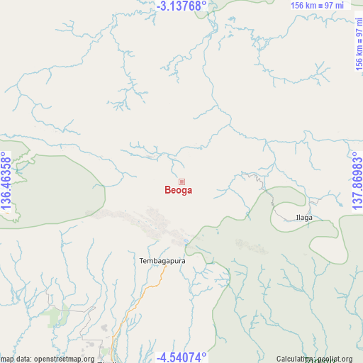
Beoga GPS coordinates[2]
3° 50' 22.2" South, 137° 10' 0.12" East
| Map corner | latitude | longitude |
|---|---|---|
| Upper-left | -3.13768°, | 136.46358° |
| Center: | -3.8395°, | 137.1667° |
| Lower-right: | -4.54074°, | 137.86983° |
| Map W x H: | 156×156 km | = 96.9×96.9mi |
| max Lat: | 5.88969° ⇑10.3% North |
| Beoga: | -3.8395° |
| min Lat: | ⇓89.7% South -10.934° |
| min Long | Beoga | max Long |
| 95.1345° | 137.1667° | 140.9419° |
| W 99.5%⇐ | ⇒0.5% E |
Elevation
Elevation of Beoga is 3019 m = 9905 ft, and this is 2789.3 m = 9151 ft above average elevation for this country.
| Max E: |
3185 m = 10449 ft | 0% |
| Beoga | 3019 m 9905 ft | |
| Avg. | 229.7 m = 754 ft | |
Min E: |
-1 m = -3 ft | 100% |
See also: Indonesia elevation on elevation.city.
Geographical zone
Beoga is located in South Torrid zone (between Equator and Tropic of Capricorn). Distance of Equator is 426.9 km =265.3 mi to North.| Distance of | km | miles | from Beoga |
|---|---|---|---|
| Equator | 426.9 | 265.3 | to North |
| Tropic Capricorn | 2179 | 1354 | to South |
| Antarctic Circle | 6974.3 | 4333.6 | to South |
| South Pole | 9580.1 | 5952.8 | to South |


Nearby cities:
15 places around Beoga: (largest is in red/bold)
• Bilogai
56.9 km =35.4 mi,  283°
283°
• Enarotali
88.2 km =54.8 mi,  263°
263°
• Homeyo
79.8 km =49.6 mi, 284°
• Ilaga
28.6 km =17.8 mi,  115°
115°
• Karubaga
144.1 km =89.5 mi,  83°
83°
• Kigamani
136.4 km =84.8 mi, 264°
• Kumopa
73 km =45.4 mi,  271°
271°
• Mapurujaya
100.2 km =62.3 mi,  201°
201°
• Moanemani
117.9 km =73.3 mi, 263°
• Mulia
91.9 km =57.1 mi, 81°
• Obano
104.8 km =65.1 mi, 264°
• Sugapa
16.8 km =10.4 mi,  309°
309°
• Tigi
100.8 km =62.6 mi, 261°
• Tiom
143.2 km =89 mi,  93°
93°
• Waghete
101.4 km =63 mi, 257°
Sources, notices
• [Note1] Compared only with cities in Indonesia existing in our database
• [Src1] Map data: © OpenStreetMap contributors (CC-BY-SA)
• [Src2] Other city data from geonames.org with taken over terms of usage.
• [Src3] Geographical zone / Annual Mean Temperature by Robert A. Rohde @ Wikipedia
