Kumopa geodata
Kumopa (Papua) is a seat of a third-order administrative division; located in Indonesia in Asia/Jayapura (GMT+9) time zone. In our database, there are 407 cities with bigger population. Compared to other cities in Indonesia, 89.7% of cities are located further ↓South; 99.5% of cities are located further ←West and 100% of cities have lower elevation than Kumopa. Note1


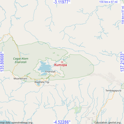
Kumopa GPS coordinates[2]
3° 49' 17.76" South, 136° 30' 33.12" East
| Map corner | latitude | longitude |
|---|---|---|
| Upper-left | -3.11977°, | 135.80608° |
| Center: | -3.8216°, | 136.5092° |
| Lower-right: | -4.52286°, | 137.21233° |
| Map W x H: | 156×156 km | = 96.9×96.9mi |
| max Lat: | 5.88969° ⇑10.3% North |
| Kumopa: | -3.8216° |
| min Lat: | ⇓89.7% South -10.934° |
| min Long | Kumopa | max Long |
| 95.1345° | 136.5092° | 140.9419° |
| W 99.5%⇐ | ⇒0.5% E |
Elevation
Elevation of Kumopa is 2450 m = 8038 ft, and this is 2220.3 m = 7284 ft above average elevation for this country.
| Max E: |
3185 m = 10449 ft | 0% |
| Kumopa | 2450 m 8038 ft | |
| Avg. | 229.7 m = 754 ft | |
Min E: |
-1 m = -3 ft | 100% |
See also: Indonesia elevation on elevation.city.
Geographical zone
Kumopa is located in South Torrid zone (between Equator and Tropic of Capricorn). Distance of Equator is 424.9 km =264 mi to North.| Distance of | km | miles | from Kumopa |
|---|---|---|---|
| Equator | 424.9 | 264 | to North |
| Tropic Capricorn | 2181 | 1355.2 | to South |
| Antarctic Circle | 6976.3 | 4334.9 | to South |
| South Pole | 9582.1 | 5954 | to South |


Nearby cities:
15 places around Kumopa: (largest is in red/bold)
• Beoga
73 km =45.4 mi,  91°
91°
• Bilogai
21.1 km =13.1 mi,  56°
56°
• Bomomani
81.3 km =50.5 mi,  250°
250°
• Enarotali
19 km =11.8 mi,  230°
230°
• Homeyo
18.2 km =11.3 mi,  345°
345°
• Ilaga
99.8 km =62 mi,  98°
98°
• Kigamani
64.6 km =40.1 mi,  256°
256°
• Mapurujaya
101.3 km =62.9 mi,  159°
159°
• Moanemani
47 km =29.2 mi, 249°
• Obano
33.5 km =20.8 mi, 249°
• Sugapa
60.6 km =37.7 mi,  81°
81°
• Tigi
31.4 km =19.5 mi,  239°
239°
• Topo
112.3 km =69.8 mi,  286°
286°
• Uta
97 km =60.3 mi,  212°
212°
• Waghete
35.5 km =22.1 mi, 227°
Sources, notices
• [Note1] Compared only with cities in Indonesia existing in our database
• [Src1] Map data: © OpenStreetMap contributors (CC-BY-SA)
• [Src2] Other city data from geonames.org with taken over terms of usage.
• [Src3] Geographical zone / Annual Mean Temperature by Robert A. Rohde @ Wikipedia
