Wurigelebur geodata
Wurigelebur (Papua) is a seat of a third-order administrative division; located in Indonesia in Asia/Jayapura (GMT+9) time zone. In our database, there are 407 cities with bigger population. Compared to other cities in Indonesia, 89.8% of cities are located further ↓South; 99.7% of cities are located further ←West and 99.8% of cities have lower elevation than Wurigelebur. Note1


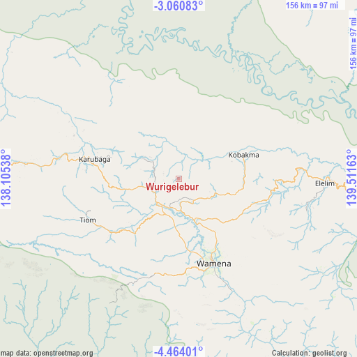
Wurigelebur GPS coordinates[2]
3° 45' 45.72" South, 138° 48' 30.6" East
| Map corner | latitude | longitude |
|---|---|---|
| Upper-left | -3.06083°, | 138.10538° |
| Center: | -3.7627°, | 138.8085° |
| Lower-right: | -4.46401°, | 139.51163° |
| Map W x H: | 156×156 km | = 96.9×96.9mi |
| max Lat: | 5.88969° ⇑10.2% North |
| Wurigelebur: | -3.7627° |
| min Lat: | ⇓89.8% South -10.934° |
| min Long | Wurigelebur | max Long |
| 95.1345° | 138.8085° | 140.9419° |
| W 99.7%⇐ | ⇒0.3% E |
Elevation
Elevation of Wurigelebur is 1568 m = 5144 ft, and this is 1338.3 m = 4391 ft above average elevation for this country.
| Max E: |
3185 m = 10449 ft | 0.2% |
| Wurigelebur | 1568 m 5144 ft | |
| Avg. | 229.7 m = 754 ft | |
Min E: |
-1 m = -3 ft | 99.8% |
See also: Indonesia elevation on elevation.city.
Geographical zone
Wurigelebur is located in South Torrid zone (between Equator and Tropic of Capricorn). Distance of Equator is 418.4 km =260 mi to North.| Distance of | km | miles | from Wurigelebur |
|---|---|---|---|
| Equator | 418.4 | 260 | to North |
| Tropic Capricorn | 2187.5 | 1359.2 | to South |
| Antarctic Circle | 6982.8 | 4338.9 | to South |
| South Pole | 9588.7 | 5958.1 | to South |


Nearby cities:
15 places around Wurigelebur: (largest is in red/bold)
• Beoga
182.3 km =113.3 mi,  267°
267°
• Bikondini
28.4 km =17.6 mi,  294°
294°
• Burmeso
181 km =112.5 mi,  331°
331°
• Dabra
62.5 km =38.8 mi,  336°
336°
• Elelim
99.7 km =62 mi,  89°
89°
• Guay
178.8 km =111.1 mi,  38°
38°
• Ilaga
157.6 km =97.9 mi,  262°
262°
• Karubaga
39.5 km =24.5 mi,  280°
280°
• Kenyam
104.3 km =64.8 mi,  206°
206°
• Kobakma
30.5 km =19 mi,  68°
68°
• Mulia
91.5 km =56.9 mi, 273°
• Samanente
174 km =108.1 mi,  2°
2°
• Sumohai
119.5 km =74.3 mi,  149°
149°
• Tiom
43.1 km =26.8 mi,  245°
245°
• Wamena
39.9 km =24.8 mi,  157°
157°
Sources, notices
• [Note1] Compared only with cities in Indonesia existing in our database
• [Src1] Map data: © OpenStreetMap contributors (CC-BY-SA)
• [Src2] Other city data from geonames.org with taken over terms of usage.
• [Src3] Geographical zone / Annual Mean Temperature by Robert A. Rohde @ Wikipedia
