Guay geodata
Guay (Papua) is a seat of a third-order administrative division; located in Indonesia in Asia/Jayapura (GMT+9) time zone. In our database, there are 407 cities with bigger population. Compared to other cities in Indonesia, 92.2% of cities are located further ↓South; 99.8% of cities are located further ←West and 62% of cities have lower elevation than Guay. Note1


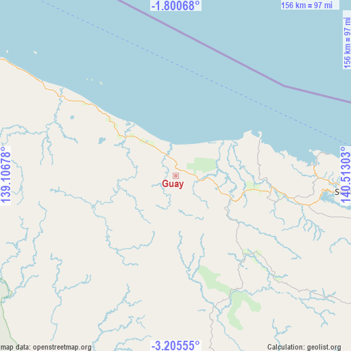
Guay GPS coordinates[2]
2° 30' 11.88" South, 139° 48' 35.64" East
| Map corner | latitude | longitude |
|---|---|---|
| Upper-left | -1.80068°, | 139.10678° |
| Center: | -2.5033°, | 139.8099° |
| Lower-right: | -3.20555°, | 140.51303° |
| Map W x H: | 156.2×156.2 km | = 97.1×97.1mi |
| max Lat: | 5.88969° ⇑7.8% North |
| Guay: | -2.5033° |
| min Lat: | ⇓92.2% South -10.934° |
| min Long | Guay | max Long |
| 95.1345° | 139.8099° | 140.9419° |
| W 99.8%⇐ | ⇒0.2% E |
Elevation
Elevation of Guay is 185 m = 607 ft, and this is 44.7 m = 147 ft below average elevation for this country.
| Max E: |
3185 m = 10449 ft | 38% |
| Avg. | 229.7 m = 754 ft | |
| Guay | 185 m = 607 ft | |
Min E: |
-1 m = -3 ft | 62% |
See also: Indonesia elevation on elevation.city.
Geographical zone
Guay is located in South Torrid zone (between Equator and Tropic of Capricorn). Distance of Equator is 278.3 km =172.9 mi to North.| Distance of | km | miles | from Guay |
|---|---|---|---|
| Equator | 278.3 | 172.9 | to North |
| Tropic Capricorn | 2327.6 | 1446.3 | to South |
| Antarctic Circle | 7122.8 | 4425.9 | to South |
| South Pole | 9728.7 | 6045.1 | to South |


Nearby cities:
15 places around Guay: (largest is in red/bold)
• Abepura
91.9 km =57.1 mi,  96°
96°
• Armopa
26.6 km =16.5 mi,  312°
312°
• Arso
115.1 km =71.5 mi,  112°
112°
• Banda
146.5 km =91 mi,  120°
120°
• Betaf
75.5 km =46.9 mi,  304°
304°
• Demta
40.8 km =25.4 mi,  66°
66°
• Depapre
62.4 km =38.8 mi,  88°
88°
• Elelim
140.1 km =87.1 mi,  184°
184°
• Genyem
38.7 km =24 mi, 102°
• Jayapura
100.9 km =62.7 mi, 91°
• Samanente
108.7 km =67.5 mi,  288°
288°
• Sarmi
138.1 km =85.8 mi, 301°
• Sawoi
59.9 km =37.2 mi, 103°
• Sentani
78.4 km =48.7 mi, 95°
• Waris
137.3 km =85.3 mi, 119°
Sources, notices
• [Note1] Compared only with cities in Indonesia existing in our database
• [Src1] Map data: © OpenStreetMap contributors (CC-BY-SA)
• [Src2] Other city data from geonames.org with taken over terms of usage.
• [Src3] Geographical zone / Annual Mean Temperature by Robert A. Rohde @ Wikipedia
