Mane geodata
Mane (Aceh) is a seat of a third-order administrative division; located in Indonesia in Asia/Jakarta (GMT+7) time zone. In our database, there are 407 cities with bigger population. Compared to other cities in Indonesia, 99.4% of cities are located further ↓South; 99.7% of cities are located further →East and 78.1% of cities have lower elevation than Mane. Note1


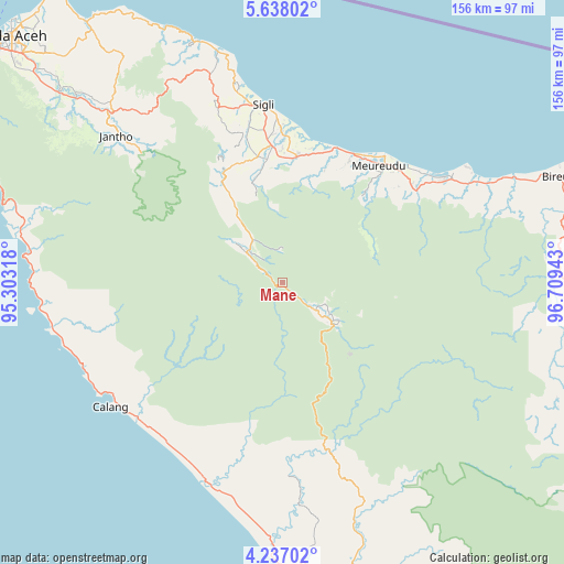
Mane GPS coordinates[2]
4° 56' 16.404" North, 96° 0' 22.68" East
| Map corner | latitude | longitude |
|---|---|---|
| Upper-left | 5.63802°, | 95.30318° |
| Center: | 4.93789°, | 96.0063° |
| Lower-right: | 4.23702°, | 96.70943° |
| Map W x H: | 155.8×155.8 km | = 96.8×96.8mi |
| max Lat: | 5.88969° ⇑0.6% North |
| Mane: | 4.93789° |
| min Lat: | ⇓99.4% South -10.934° |
| min Long | Mane | max Long |
| 95.1345° | 96.0063° | 140.9419° |
| W 0.3%⇐ | ⇒99.7% E |
Elevation
Elevation of Mane is 398 m = 1306 ft, and this is 168.3 m = 552 ft above average elevation for this country.
| Max E: |
3185 m = 10449 ft | 21.9% |
| Mane | 398 m 1306 ft | |
| Avg. | 229.7 m = 754 ft | |
Min E: |
-1 m = -3 ft | 78.1% |
See also: Indonesia elevation on elevation.city.
Geographical zone
Mane is located in North Torrid zone (between Equator and Tropic of Cancer). Distance of Equator is 549 km =341.1 mi to South.| Distance of | km | miles | from Mane |
|---|---|---|---|
| North Pole | 9458 | 5876.9 | to North |
| Arctic Circle | 6852.1 | 4257.7 | to North |
| Tropic Cancer | 2056.9 | 1278.1 | to North |
| Equator | 549 | 341.1 | to South |


Nearby cities:
15 places around Mane: (largest is in red/bold)
• Asan Kumbang
40.8 km =25.4 mi,  3°
3°
• Blang Dalam
43.1 km =26.8 mi,  263°
263°
• Caloue
42.1 km =26.2 mi,  354°
354°
• Geuleumpangminyeuk
34.8 km =21.6 mi, 4°
• Geumpang
21 km =13 mi,  125°
125°
• Keumala
35.8 km =22.2 mi, 345°
• Lampoih
42.3 km =26.3 mi,  356°
356°
• Lueng Putu
35.9 km =22.3 mi,  8°
8°
• Pante Raja
37.5 km =23.3 mi,  24°
24°
• Reuleuet
43.6 km =27.1 mi,  44°
44°
• Tangse
13.1 km =8.1 mi,  309°
309°
• Tiro
29.3 km =18.2 mi,  344°
344°
• Trienggadeng
40 km =24.9 mi,  32°
32°
• Ulee Gle
46.2 km =28.7 mi,  50°
50°
• Uleeglee
47.2 km =29.3 mi, 53°
Sources, notices
• [Note1] Compared only with cities in Indonesia existing in our database
• [Src1] Map data: © OpenStreetMap contributors (CC-BY-SA)
• [Src2] Other city data from geonames.org with taken over terms of usage.
• [Src3] Geographical zone / Annual Mean Temperature by Robert A. Rohde @ Wikipedia
