Tanjung Pandan geodata
Tanjung Pandan (Bangka–Belitung Islands) is a populated place; located in Indonesia in Asia/Jakarta (GMT+7) time zone. With population of 62,374 people, there are 192 cities with bigger population in this country. Compared to other cities in Indonesia, 91.8% of cities are located further ↓South; 83.7% of cities are located further →East and 93.7% of cities have higher elevation than Tanjung Pandan. Note1


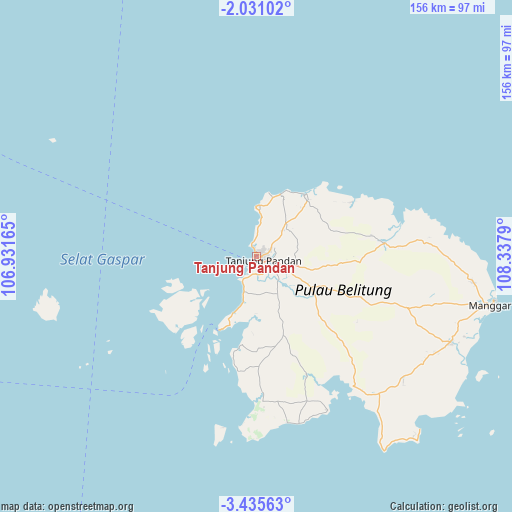
Tanjung Pandan GPS coordinates[2]
2° 44' 0.708" South, 107° 38' 5.172" East
| Map corner | latitude | longitude |
|---|---|---|
| Upper-left | -2.03102°, | 106.93165° |
| Center: | -2.73353°, | 107.63477° |
| Lower-right: | -3.43563°, | 108.3379° |
| Map W x H: | 156.2×156.2 km | = 97.1×97.1mi |
| max Lat: | 5.88969° ⇑8.2% North |
| Tanjung Pandan: | -2.73353° |
| min Lat: | ⇓91.8% South -10.934° |
| min Long | Tanjung Pandan | max Long |
| 95.1345° | 107.63477° | 140.9419° |
| W 16.3%⇐ | ⇒83.7% E |
Elevation
Elevation of Tanjung Pandan is 8 m = 26 ft, and this is 221.7 m = 727 ft below average elevation for this country.
| Max E: |
3185 m = 10449 ft | 93.7% |
| Avg. | 229.7 m = 754 ft | |
| Tanjung Pandan | 8 m = 26 ft | |
Min E: |
-1 m = -3 ft | 6.3% |
See also: Tanjung Pandan elevation on elevation.city.
Geographical zone
Tanjung Pandan is located in South Torrid zone (between Equator and Tropic of Capricorn). Distance of Equator is 303.9 km =188.8 mi to North.| Distance of | km | miles | from Tanjung Pandan |
|---|---|---|---|
| Equator | 303.9 | 188.8 | to North |
| Tropic Capricorn | 2302 | 1430.4 | to South |
| Antarctic Circle | 7097.2 | 4410 | to South |
| South Pole | 9703.1 | 6029.2 | to South |


Nearby cities:
15 places around Tanjung Pandan: (largest is in red/bold)
• Batuampar
305.5 km =189.8 mi,  43°
43°
• Jebus
266 km =165.3 mi,  294°
294°
• Kelapa
237.5 km =147.6 mi, 293°
• Kepoh
121.9 km =75.7 mi,  258°
258°
• Ketapang
278.6 km =173.1 mi,  69°
69°
• Koba
138.8 km =86.2 mi,  281°
281°
• Manggar
72.1 km =44.8 mi,  103°
103°
• Mislak
266.9 km =165.8 mi, 294°
• Muntok
284.5 km =176.8 mi, 285°
• Padangtikar
290.4 km =180.4 mi, 38°
• Pangkalpinang
181.8 km =113 mi, 291°
• Sungailiat
194.4 km =120.8 mi,  300°
300°
• Surabaya
302.1 km =187.7 mi,  224°
224°
• Teritip
270.8 km =168.3 mi, 291°
• Wiralaga Mulya
267.7 km =166.3 mi,  242°
242°
Sources, notices
• [Note1] Compared only with cities in Indonesia existing in our database
• [Src1] Map data: © OpenStreetMap contributors (CC-BY-SA)
• [Src2] Other city data from geonames.org with taken over terms of usage.
• [Src3] Geographical zone / Annual Mean Temperature by Robert A. Rohde @ Wikipedia
