Randudongkal geodata
Randudongkal (Central Java) is a populated place; located in Indonesia in Asia/Jakarta (GMT+7) time zone. With population of 28,532 people, there are 324 cities with bigger population in this country. Compared to other cities in Indonesia, 60.2% of cities are located further ↓South; 66% of cities are located further →East and 64.6% of cities have lower elevation than Randudongkal. Note1


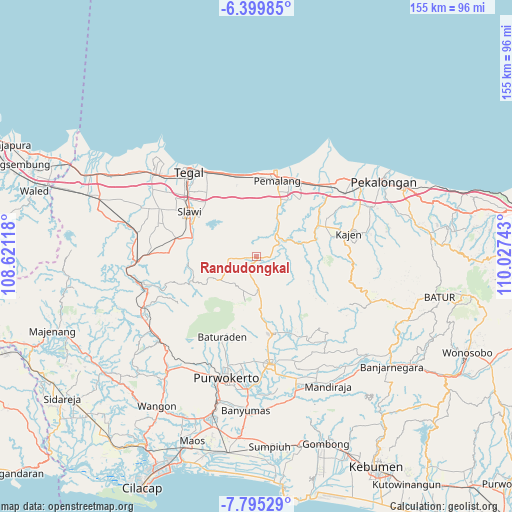
Randudongkal GPS coordinates[2]
7° 5' 53.16" South, 109° 19' 27.48" East
| Map corner | latitude | longitude |
|---|---|---|
| Upper-left | -6.39985°, | 108.62118° |
| Center: | -7.0981°, | 109.3243° |
| Lower-right: | -7.79529°, | 110.02743° |
| Map W x H: | 155.2×155.2 km | = 96.4×96.4mi |
| max Lat: | 5.88969° ⇑39.8% North |
| Randudongkal: | -7.0981° |
| min Lat: | ⇓60.2% South -10.934° |
| min Long | Randudongkal | max Long |
| 95.1345° | 109.3243° | 140.9419° |
| W 34%⇐ | ⇒66% E |
Elevation
Elevation of Randudongkal is 216 m = 709 ft, and this is 13.7 m = 45 ft below average elevation for this country.
| Max E: |
3185 m = 10449 ft | 35.4% |
| Avg. | 229.7 m = 754 ft | |
| Randudongkal | 216 m = 709 ft | |
Min E: |
-1 m = -3 ft | 64.6% |
See also: Indonesia elevation on elevation.city.
Geographical zone
Randudongkal is located in South Torrid zone (between Equator and Tropic of Capricorn). Distance of Equator is 789.2 km =490.4 mi to North.| Distance of | km | miles | from Randudongkal |
|---|---|---|---|
| Equator | 789.2 | 490.4 | to North |
| Tropic Capricorn | 1816.7 | 1128.8 | to South |
| Antarctic Circle | 6611.9 | 4108.4 | to South |
| South Pole | 9217.8 | 5727.7 | to South |


Nearby cities:
15 places around Randudongkal: (largest is in red/bold)
• Adiwerna
27.7 km =17.2 mi,  310°
310°
• Balapulang
25.3 km =15.7 mi,  282°
282°
• Baturaden
25.4 km =15.8 mi,  207°
207°
• Buaran
25.5 km =15.8 mi,  77°
77°
• Comal
31.6 km =19.6 mi,  47°
47°
• Dukuhturi
34.5 km =21.4 mi, 309°
• Kajen
28.9 km =18 mi, 75°
• Lebaksiu
20.6 km =12.8 mi,  285°
285°
• Margasari
33.9 km =21.1 mi,  269°
269°
• Pemalang
23.8 km =14.8 mi,  15°
15°
• Purbalingga
32.5 km =20.2 mi,  172°
172°
• Slawi
24 km =14.9 mi,  302°
302°
• Tarub
25.3 km =15.7 mi,  316°
316°
• Tegal
32.5 km =20.2 mi, 321°
• Wonopringgo
34.7 km =21.6 mi,  68°
68°
Sources, notices
• [Note1] Compared only with cities in Indonesia existing in our database
• [Src1] Map data: © OpenStreetMap contributors (CC-BY-SA)
• [Src2] Other city data from geonames.org with taken over terms of usage.
• [Src3] Geographical zone / Annual Mean Temperature by Robert A. Rohde @ Wikipedia
