Adiwerna geodata
Adiwerna (Central Java) is a populated place; located in Indonesia in Asia/Jakarta (GMT+7) time zone. With population of 134,188 people, there are 89 cities with bigger population in this country. Compared to other cities in Indonesia, 70.4% of cities are located further ↓South; 66.6% of cities are located further →East and 76.2% of cities have higher elevation than Adiwerna. Note1


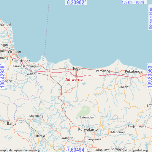
Adiwerna GPS coordinates[2]
6° 56' 15" South, 109° 7' 57" East
| Map corner | latitude | longitude |
|---|---|---|
| Upper-left | -6.23902°, | 108.42938° |
| Center: | -6.9375°, | 109.1325° |
| Lower-right: | -7.63494°, | 109.83563° |
| Map W x H: | 155.2×155.2 km | = 96.4×96.4mi |
| max Lat: | 5.88969° ⇑29.6% North |
| Adiwerna: | -6.9375° |
| min Lat: | ⇓70.4% South -10.934° |
| min Long | Adiwerna | max Long |
| 95.1345° | 109.1325° | 140.9419° |
| W 33.4%⇐ | ⇒66.6% E |
Elevation
Elevation of Adiwerna is 23 m = 75 ft, and this is 206.7 m = 678 ft below average elevation for this country.
| Max E: |
3185 m = 10449 ft | 76.2% |
| Avg. | 229.7 m = 754 ft | |
| Adiwerna | 23 m = 75 ft | |
Min E: |
-1 m = -3 ft | 23.8% |
See also: Adiwerna elevation on elevation.city.
Geographical zone
Adiwerna is located in South Torrid zone (between Equator and Tropic of Capricorn). Distance of Equator is 771.4 km =479.3 mi to North.| Distance of | km | miles | from Adiwerna |
|---|---|---|---|
| Equator | 771.4 | 479.3 | to North |
| Tropic Capricorn | 1834.5 | 1139.9 | to South |
| Antarctic Circle | 6629.8 | 4119.6 | to South |
| South Pole | 9235.7 | 5738.8 | to South |


Nearby cities:
15 places around Adiwerna: (largest is in red/bold)
• Balapulang
12.8 km =8 mi,  195°
195°
• Brebes
12.9 km =8 mi,  306°
306°
• Bulakamba
20.7 km =12.9 mi,  289°
289°
• Dukuhkopi
33.7 km =20.9 mi,  255°
255°
• Dukuhturi
6.8 km =4.2 mi, 307°
• Ketanggungan
26.7 km =16.6 mi,  269°
269°
• Lebaksiu
12.5 km =7.8 mi,  174°
174°
• Margasari
22.1 km =13.7 mi,  215°
215°
• Melahayu
35.1 km =21.8 mi,  253°
253°
• Pamedaran
32.9 km =20.4 mi,  243°
243°
• Pemalang
28.1 km =17.5 mi,  79°
79°
• Randudongkal
27.7 km =17.2 mi,  130°
130°
• Slawi
5 km =3.1 mi, 169°
• Tarub
3.8 km =2.4 mi, 82°
• Tegal
7.6 km =4.7 mi,  6°
6°
Sources, notices
• [Note1] Compared only with cities in Indonesia existing in our database
• [Src1] Map data: © OpenStreetMap contributors (CC-BY-SA)
• [Src2] Other city data from geonames.org with taken over terms of usage.
• [Src3] Geographical zone / Annual Mean Temperature by Robert A. Rohde @ Wikipedia
