Mangkutana geodata
Mangkutana (South Sulawesi) is a seat of a third-order administrative division; located in Indonesia in Asia/Makassar (GMT+8) time zone. In our database, there are 407 cities with bigger population. Compared to other cities in Indonesia, 92.3% of cities are located further ↓South; 85.3% of cities are located further ←West and 64.5% of cities have higher elevation than Mangkutana. Note1


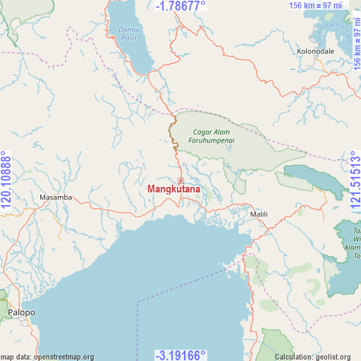
Mangkutana GPS coordinates[2]
2° 29' 21.84" South, 120° 48' 43.2" East
| Map corner | latitude | longitude |
|---|---|---|
| Upper-left | -1.78677°, | 120.10888° |
| Center: | -2.4894°, | 120.812° |
| Lower-right: | -3.19166°, | 121.51513° |
| Map W x H: | 156.2×156.2 km | = 97.1×97.1mi |
| max Lat: | 5.88969° ⇑7.7% North |
| Mangkutana: | -2.4894° |
| min Lat: | ⇓92.3% South -10.934° |
| min Long | Mangkutana | max Long |
| 95.1345° | 120.812° | 140.9419° |
| W 85.3%⇐ | ⇒14.7% E |
Elevation
Elevation of Mangkutana is 44 m = 144 ft, and this is 185.7 m = 609 ft below average elevation for this country.
| Max E: |
3185 m = 10449 ft | 64.5% |
| Avg. | 229.7 m = 754 ft | |
| Mangkutana | 44 m = 144 ft | |
Min E: |
-1 m = -3 ft | 35.5% |
See also: Indonesia elevation on elevation.city.
Geographical zone
Mangkutana is located in South Torrid zone (between Equator and Tropic of Capricorn). Distance of Equator is 276.8 km =172 mi to North.| Distance of | km | miles | from Mangkutana |
|---|---|---|---|
| Equator | 276.8 | 172 | to North |
| Tropic Capricorn | 2329.1 | 1447.2 | to South |
| Antarctic Circle | 7124.4 | 4426.9 | to South |
| South Pole | 9730.3 | 6046.1 | to South |


Nearby cities:
15 places around Mangkutana: (largest is in red/bold)
• Batuputih
87.3 km =54.2 mi,  233°
233°
• Beringinjaya
88.6 km =55.1 mi, 229°
• Bonebone
34.8 km =21.6 mi,  249°
249°
• Kolonodale
81.1 km =50.4 mi,  45°
45°
• Lamasi
79.4 km =49.3 mi,  242°
242°
• Malili
35.3 km =21.9 mi,  117°
117°
• Masamba
54.2 km =33.7 mi,  262°
262°
• Padangsappa
100.5 km =62.4 mi,  214°
214°
• Palopo
88.3 km =54.9 mi, 230°
• Pendolo
48.2 km =30 mi,  343°
343°
• Sukamaju
40.7 km =25.3 mi, 250°
• Tentena
83.5 km =51.9 mi,  347°
347°
• Walenrang
86 km =53.4 mi, 242°
• Wonorejo
0.5 km =0.3 mi,  172°
172°
• Wotu
11.3 km =7 mi,  184°
184°
Sources, notices
• [Note1] Compared only with cities in Indonesia existing in our database
• [Src1] Map data: © OpenStreetMap contributors (CC-BY-SA)
• [Src2] Other city data from geonames.org with taken over terms of usage.
• [Src3] Geographical zone / Annual Mean Temperature by Robert A. Rohde @ Wikipedia
