Madiun geodata
Madiun (East Java) is a populated place; located in Indonesia in Asia/Jakarta (GMT+7) time zone. With population of 186,099 people, there are 59 cities with bigger population in this country. Compared to other cities in Indonesia, 58.5% of cities are located further ↑North; 57.4% of cities are located further →East and 57.7% of cities have higher elevation than Madiun. Note1


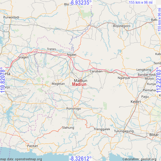
Madiun GPS coordinates[2]
7° 37' 47.28" South, 111° 31' 26.04" East
| Map corner | latitude | longitude |
|---|---|---|
| Upper-left | -6.93235°, | 110.82078° |
| Center: | -7.6298°, | 111.5239° |
| Lower-right: | -8.32612°, | 112.22703° |
| Map W x H: | 155×155 km | = 96.3×96.3mi |
| max Lat: | 5.88969° ⇑58.5% North |
| Madiun: | -7.6298° |
| min Lat: | ⇓41.5% South -10.934° |
| min Long | Madiun | max Long |
| 95.1345° | 111.5239° | 140.9419° |
| W 42.6%⇐ | ⇒57.4% E |
Elevation
Elevation of Madiun is 69 m = 226 ft, and this is 160.7 m = 527 ft below average elevation for this country.
| Max E: |
3185 m = 10449 ft | 57.7% |
| Avg. | 229.7 m = 754 ft | |
| Madiun | 69 m = 226 ft | |
Min E: |
-1 m = -3 ft | 42.3% |
See also: Madiun elevation on elevation.city.
Geographical zone
Madiun is located in South Torrid zone (between Equator and Tropic of Capricorn). Distance of Equator is 848.4 km =527.2 mi to North.| Distance of | km | miles | from Madiun |
|---|---|---|---|
| Equator | 848.4 | 527.2 | to North |
| Tropic Capricorn | 1757.6 | 1092.1 | to South |
| Antarctic Circle | 6552.8 | 4071.7 | to South |
| South Pole | 9158.7 | 5691 | to South |


Nearby cities:
15 places around Madiun: (largest is in red/bold)
• Banggel
42.8 km =26.6 mi,  195°
195°
• Beluk
42.5 km =26.4 mi,  191°
191°
• Bibis
42.6 km =26.5 mi, 188°
• Bungkal
42.7 km =26.5 mi, 190°
• Caruban
17.4 km =10.8 mi,  57°
57°
• Klatakan
42.5 km =26.4 mi, 189°
• Kudo
42.5 km =26.4 mi, 190°
• Magetan
21.4 km =13.3 mi,  261°
261°
• Maron
43.3 km =26.9 mi, 195°
• Menden
43.3 km =26.9 mi,  349°
349°
• Nambak Tengah
43 km =26.7 mi, 191°
• Nganjuk
41.9 km =26 mi,  86°
86°
• Ngawi
26.6 km =16.5 mi,  341°
341°
• Ponorogo
27.4 km =17 mi, 194°
• Setono
43.3 km =26.9 mi, 193°
Sources, notices
• [Note1] Compared only with cities in Indonesia existing in our database
• [Src1] Map data: © OpenStreetMap contributors (CC-BY-SA)
• [Src2] Other city data from geonames.org with taken over terms of usage.
• [Src3] Geographical zone / Annual Mean Temperature by Robert A. Rohde @ Wikipedia
