Kedungtuban geodata
Kedungtuban (Central Java) is a seat of a fourth-order administrative division; located in Indonesia in Asia/Jakarta (GMT+7) time zone. In our database, there are 407 cities with bigger population. Compared to other cities in Indonesia, 56.8% of cities are located further ↓South; 58% of cities are located further →East and 60.3% of cities have higher elevation than Kedungtuban. Note1


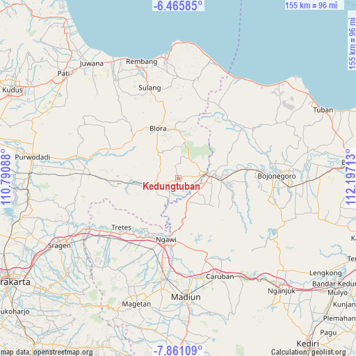
Kedungtuban GPS coordinates[2]
7° 9' 50.4" South, 111° 29' 38.4" East
| Map corner | latitude | longitude |
|---|---|---|
| Upper-left | -6.46585°, | 110.79088° |
| Center: | -7.164°, | 111.494° |
| Lower-right: | -7.86109°, | 112.19713° |
| Map W x H: | 155.1×155.1 km | = 96.4×96.4mi |
| max Lat: | 5.88969° ⇑43.2% North |
| Kedungtuban: | -7.164° |
| min Lat: | ⇓56.8% South -10.934° |
| min Long | Kedungtuban | max Long |
| 95.1345° | 111.494° | 140.9419° |
| W 42%⇐ | ⇒58% E |
Elevation
Elevation of Kedungtuban is 58 m = 190 ft, and this is 171.7 m = 563 ft below average elevation for this country.
| Max E: |
3185 m = 10449 ft | 60.3% |
| Avg. | 229.7 m = 754 ft | |
| Kedungtuban | 58 m = 190 ft | |
Min E: |
-1 m = -3 ft | 39.7% |
See also: Indonesia elevation on elevation.city.
Geographical zone
Kedungtuban is located in South Torrid zone (between Equator and Tropic of Capricorn). Distance of Equator is 796.6 km =495 mi to North.| Distance of | km | miles | from Kedungtuban |
|---|---|---|---|
| Equator | 796.6 | 495 | to North |
| Tropic Capricorn | 1809.4 | 1124.3 | to South |
| Antarctic Circle | 6604.6 | 4103.9 | to South |
| South Pole | 9210.5 | 5723.1 | to South |


Nearby cities:
15 places around Kedungtuban: (largest is in red/bold)
• Balangpule
1.2 km =0.7 mi,  140°
140°
• Galuk
6.1 km =3.8 mi,  352°
352°
• Gondel
7.3 km =4.5 mi,  179°
179°
• Jetis
6.2 km =3.9 mi,  154°
154°
• Kapuan
7.5 km =4.7 mi,  112°
112°
• Kemantren
5.7 km =3.5 mi, 151°
• Kentongan
7.3 km =4.5 mi,  91°
91°
• Klagen
6.7 km =4.2 mi, 144°
• Mernung
6 km =3.7 mi,  79°
79°
• Ngraho
0.8 km =0.5 mi, 154°
• Peting
4.2 km =2.6 mi,  243°
243°
• Pulo
2.9 km =1.8 mi,  169°
169°
• Seren
4.9 km =3 mi, 80°
• Sugihwaras
6 km =3.7 mi, 114°
• Tanjung Timur
2.6 km =1.6 mi, 168°
Sources, notices
• [Note1] Compared only with cities in Indonesia existing in our database
• [Src1] Map data: © OpenStreetMap contributors (CC-BY-SA)
• [Src2] Other city data from geonames.org with taken over terms of usage.
• [Src3] Geographical zone / Annual Mean Temperature by Robert A. Rohde @ Wikipedia
