Ipuh geodata
Ipuh (Bengkulu) is a seat of a third-order administrative division; located in Indonesia in Asia/Jakarta (GMT+7) time zone. In our database, there are 407 cities with bigger population. Compared to other cities in Indonesia, 91.2% of cities are located further ↓South; 96.3% of cities are located further →East and 83% of cities have higher elevation than Ipuh. Note1


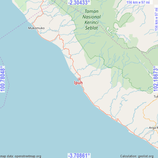
Ipuh GPS coordinates[2]
3° 0' 24.12" South, 101° 29' 0.96" East
| Map corner | latitude | longitude |
|---|---|---|
| Upper-left | -2.30433°, | 100.78048° |
| Center: | -3.0067°, | 101.4836° |
| Lower-right: | -3.70861°, | 102.18673° |
| Map W x H: | 156.1×156.1 km | = 97×97mi |
| max Lat: | 5.88969° ⇑8.8% North |
| Ipuh: | -3.0067° |
| min Lat: | ⇓91.2% South -10.934° |
| min Long | Ipuh | max Long |
| 95.1345° | 101.4836° | 140.9419° |
| W 3.7%⇐ | ⇒96.3% E |
Elevation
Elevation of Ipuh is 16 m = 52 ft, and this is 213.7 m = 701 ft below average elevation for this country.
| Max E: |
3185 m = 10449 ft | 83% |
| Avg. | 229.7 m = 754 ft | |
| Ipuh | 16 m = 52 ft | |
Min E: |
-1 m = -3 ft | 17% |
See also: Indonesia elevation on elevation.city.
Geographical zone
Ipuh is located in South Torrid zone (between Equator and Tropic of Capricorn). Distance of Equator is 334.3 km =207.7 mi to North.| Distance of | km | miles | from Ipuh |
|---|---|---|---|
| Equator | 334.3 | 207.7 | to North |
| Tropic Capricorn | 2271.6 | 1411.5 | to South |
| Antarctic Circle | 7066.9 | 4391.2 | to South |
| South Pole | 9672.7 | 6010.3 | to South |


Nearby cities:
15 places around Ipuh: (largest is in red/bold)
• Argamakmur
91 km =56.5 mi,  120°
120°
• Bengkulu
123.8 km =76.9 mi,  135°
135°
• Curup
126.1 km =78.4 mi,  114°
114°
• Jangkat
84.2 km =52.3 mi,  48°
48°
• Karang Tinggi
133 km =82.6 mi,  128°
128°
• Ketahun
57.8 km =35.9 mi, 137°
• Lais
85.6 km =53.2 mi, 132°
• Muarasiau
106.5 km =66.2 mi,  39°
39°
• Mukomuko
63.8 km =39.6 mi,  319°
319°
• Rantaupangiang
102.4 km =63.6 mi,  56°
56°
• Semurup
113.6 km =70.6 mi,  353°
353°
• Siulak
119 km =73.9 mi, 351°
• Siulakderasmudik
125.5 km =78 mi, 347°
• Sungai Penuh
106.2 km =66 mi, 354°
• Tubei
80.5 km =50 mi,  98°
98°
Sources, notices
• [Note1] Compared only with cities in Indonesia existing in our database
• [Src1] Map data: © OpenStreetMap contributors (CC-BY-SA)
• [Src2] Other city data from geonames.org with taken over terms of usage.
• [Src3] Geographical zone / Annual Mean Temperature by Robert A. Rohde @ Wikipedia
