Jangkat geodata
Jangkat (Jambi) is a seat of a third-order administrative division; located in Indonesia in Asia/Jakarta (GMT+7) time zone. In our database, there are 407 cities with bigger population. Compared to other cities in Indonesia, 92.2% of cities are located further ↓South; 96.1% of cities are located further →East and 91.2% of cities have lower elevation than Jangkat. Note1


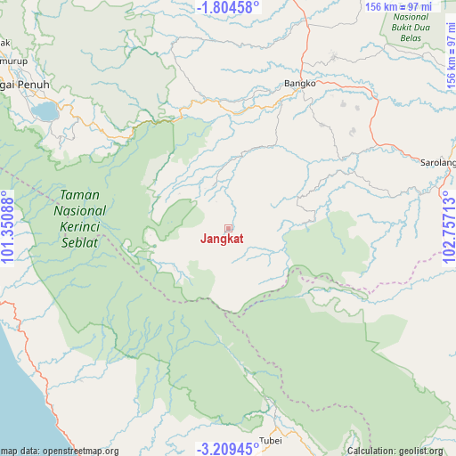
Jangkat GPS coordinates[2]
2° 30' 25.92" South, 102° 3' 14.4" East
| Map corner | latitude | longitude |
|---|---|---|
| Upper-left | -1.80458°, | 101.35088° |
| Center: | -2.5072°, | 102.054° |
| Lower-right: | -3.20945°, | 102.75713° |
| Map W x H: | 156.2×156.2 km | = 97.1×97.1mi |
| max Lat: | 5.88969° ⇑7.8% North |
| Jangkat: | -2.5072° |
| min Lat: | ⇓92.2% South -10.934° |
| min Long | Jangkat | max Long |
| 95.1345° | 102.054° | 140.9419° |
| W 3.9%⇐ | ⇒96.1% E |
Elevation
Elevation of Jangkat is 683 m = 2241 ft, and this is 453.3 m = 1487 ft above average elevation for this country.
| Max E: |
3185 m = 10449 ft | 8.8% |
| Jangkat | 683 m 2241 ft | |
| Avg. | 229.7 m = 754 ft | |
Min E: |
-1 m = -3 ft | 91.2% |
See also: Indonesia elevation on elevation.city.
Geographical zone
Jangkat is located in South Torrid zone (between Equator and Tropic of Capricorn). Distance of Equator is 278.8 km =173.2 mi to North.| Distance of | km | miles | from Jangkat |
|---|---|---|---|
| Equator | 278.8 | 173.2 | to North |
| Tropic Capricorn | 2327.1 | 1446 | to South |
| Antarctic Circle | 7122.4 | 4425.7 | to South |
| South Pole | 9728.3 | 6044.9 | to South |


Nearby cities:
15 places around Jangkat: (largest is in red/bold)
• Bangko
52.6 km =32.7 mi,  25°
25°
• Ipuh
84.2 km =52.3 mi,  228°
228°
• Ketahun
101.1 km =62.8 mi,  193°
193°
• Muaralimun
66.1 km =41.1 mi,  79°
79°
• Muararupit
98.2 km =61 mi,  104°
104°
• Muarasiau
26.5 km =16.5 mi,  11°
11°
• Pauh
94.3 km =58.6 mi,  64°
64°
• Rantaupangiang
21.9 km =13.6 mi,  86°
86°
• Rantaupanjang
78.9 km =49 mi,  20°
20°
• Sarolangun
77.9 km =48.4 mi,  73°
73°
• Semurup
95.3 km =59.2 mi,  306°
306°
• Siulak
101.4 km =63 mi, 307°
• Sungai Penuh
89.1 km =55.4 mi,  304°
304°
• Surulangun Rawas
79.8 km =49.6 mi, 99°
• Tubei
69.9 km =43.4 mi,  166°
166°
Sources, notices
• [Note1] Compared only with cities in Indonesia existing in our database
• [Src1] Map data: © OpenStreetMap contributors (CC-BY-SA)
• [Src2] Other city data from geonames.org with taken over terms of usage.
• [Src3] Geographical zone / Annual Mean Temperature by Robert A. Rohde @ Wikipedia
