Dukuhtengah geodata
Dukuhtengah (Central Java) is a seat of a fourth-order administrative division; located in Indonesia in Asia/Jakarta (GMT+7) time zone. In our database, there are 407 cities with bigger population. Compared to other cities in Indonesia, 56.4% of cities are located further ↑North; 67.7% of cities are located further →East and 84.2% of cities have higher elevation than Dukuhtengah. Note1


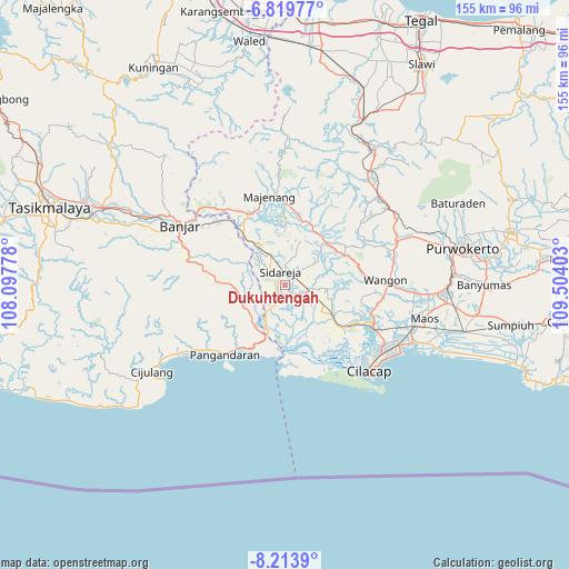
Dukuhtengah GPS coordinates[2]
7° 31' 2.604" South, 108° 48' 3.24" East
| Map corner | latitude | longitude |
|---|---|---|
| Upper-left | -6.81977°, | 108.09778° |
| Center: | -7.51739°, | 108.8009° |
| Lower-right: | -8.2139°, | 109.50403° |
| Map W x H: | 155×155 km | = 96.3×96.3mi |
| max Lat: | 5.88969° ⇑56.4% North |
| Dukuhtengah: | -7.51739° |
| min Lat: | ⇓43.6% South -10.934° |
| min Long | Dukuhtengah | max Long |
| 95.1345° | 108.8009° | 140.9419° |
| W 32.3%⇐ | ⇒67.7% E |
Elevation
Elevation of Dukuhtengah is 15 m = 49 ft, and this is 214.7 m = 704 ft below average elevation for this country.
| Max E: |
3185 m = 10449 ft | 84.2% |
| Avg. | 229.7 m = 754 ft | |
| Dukuhtengah | 15 m = 49 ft | |
Min E: |
-1 m = -3 ft | 15.8% |
See also: Indonesia elevation on elevation.city.
Geographical zone
Dukuhtengah is located in South Torrid zone (between Equator and Tropic of Capricorn). Distance of Equator is 835.9 km =519.4 mi to North.| Distance of | km | miles | from Dukuhtengah |
|---|---|---|---|
| Equator | 835.9 | 519.4 | to North |
| Tropic Capricorn | 1770.1 | 1099.9 | to South |
| Antarctic Circle | 6565.3 | 4079.5 | to South |
| South Pole | 9171.2 | 5698.7 | to South |


Nearby cities:
15 places around Dukuhtengah: (largest is in red/bold)
• Alurbulu
4.4 km =2.7 mi,  82°
82°
• Cikalong
4.2 km =2.6 mi,  346°
346°
• Ciklapa
1.1 km =0.7 mi,  40°
40°
• Cipari
2.2 km =1.4 mi,  179°
179°
• Cipariuk
4 km =2.5 mi,  297°
297°
• Gendiwu
3.3 km =2.1 mi,  20°
20°
• Kedungbakung
3.3 km =2.1 mi,  294°
294°
• Kedungbulu
3 km =1.9 mi,  219°
219°
• Kedungreja
2.7 km =1.7 mi, 301°
• Mulyosari
2 km =1.2 mi, 304°
• Pondokwungu
4.3 km =2.7 mi,  186°
186°
• Sidamulya
3.3 km =2.1 mi,  7°
7°
• Sidareja
3.8 km =2.4 mi, 345°
• Tambangan
4.2 km =2.6 mi,  33°
33°
• Wanadadi
2.9 km =1.8 mi,  127°
127°
Sources, notices
• [Note1] Compared only with cities in Indonesia existing in our database
• [Src1] Map data: © OpenStreetMap contributors (CC-BY-SA)
• [Src2] Other city data from geonames.org with taken over terms of usage.
• [Src3] Geographical zone / Annual Mean Temperature by Robert A. Rohde @ Wikipedia
