Barpeta Road geodata
Barpeta Road (Assam) is a populated place; located in India in Asia/Kolkata (GMT+5.5) time zone. With population of 35,281 people, there are 1229 cities with bigger population in this country. Compared to other cities in India, 74.8% of cities are located further ↓South; 96.1% of cities are located further ←West and 79.7% of cities have higher elevation than Barpeta Road. Note1


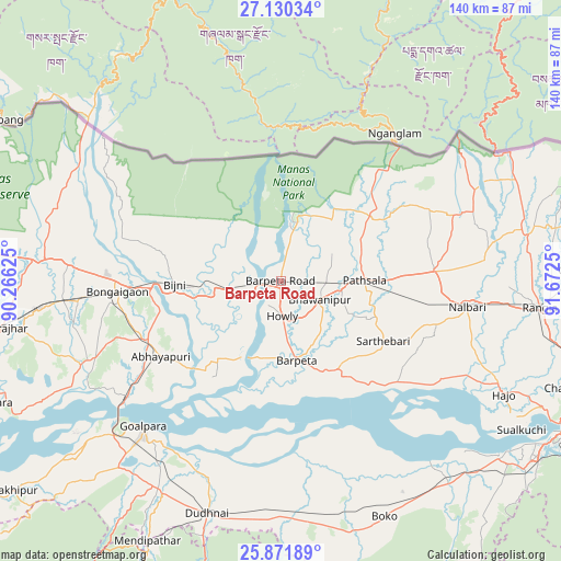
Barpeta Road GPS coordinates[2]
26° 30' 10.224" North, 90° 58' 9.732" East
| Map corner | latitude | longitude |
|---|---|---|
| Upper-left | 27.13034°, | 90.26625° |
| Center: | 26.50284°, | 90.96937° |
| Lower-right: | 25.87189°, | 91.6725° |
| Map W x H: | 139.9×139.9 km | = 86.9×86.9mi |
| max Lat: | 34.9274° ⇑25.2% North |
| Barpeta Road: | 26.50284° |
| min Lat: | ⇓74.8% South 8.09008° |
| min Long | Barpeta Road | max Long |
| 68.82655° | 90.96937° | 96.81° |
| W 96.1%⇐ | ⇒3.9% E |
Elevation
Elevation of Barpeta Road is 49 m = 161 ft, and this is 246.6 m = 809 ft below average elevation for this country.
| Max E: |
3681 m = 12077 ft | 79.7% |
| Avg. | 295.6 m = 970 ft | |
| Barpeta Road | 49 m = 161 ft | |
Min E: |
1 m = 3 ft | 20.3% |
See also: India elevation on elevation.city.
Geographical zone
Barpeta Road is located in North temperate zone (between Tropic of Cancer and the Arctic Circle). Distance of this Northern Tropic circle is 340.9 km =211.8 mi to South.| Distance of | km | miles | from Barpeta Road |
|---|---|---|---|
| North Pole | 7060.2 | 4387 | to North |
| Arctic Circle | 4454.3 | 2767.8 | to North |
| Tropic Cancer | 340.9 | 211.8 | to South |
| Equator | 2946.8 | 1831.1 | to South |


Nearby cities:
15 places around Barpeta Road: (largest is in red/bold)
• Abhayāpuri
34.7 km =21.6 mi,  234°
234°
• Barpeta
20.3 km =12.6 mi,  169°
169°
• Bijni
26.5 km =16.5 mi,  268°
268°
• Bongaigaon
41 km =25.5 mi, 265°
• Bāsugaon
54.9 km =34.1 mi, 265°
• Chāpar
58.1 km =36.1 mi,  243°
243°
• Goālpāra
49.8 km =30.9 mi,  223°
223°
• Howli
9 km =5.6 mi, 173°
• Hājo
62.3 km =38.7 mi,  117°
117°
• Jogīghopa
50.1 km =31.1 mi, 232°
• Kokrajhar
70.3 km =43.7 mi,  260°
260°
• Mushalpur
46.2 km =28.7 mi,  79°
79°
• Rangia
64.4 km =40 mi,  95°
95°
• Soalkuchi
70.6 km =43.9 mi, 121°
• Sorbhog
8.5 km =5.3 mi, 257°
Sources, notices
• [Note1] Compared only with cities in India existing in our database
• [Src1] Map data: © OpenStreetMap contributors (CC-BY-SA)
• [Src2] Other city data from geonames.org with taken over terms of usage.
• [Src3] Geographical zone / Annual Mean Temperature by Robert A. Rohde @ Wikipedia
