Sarāi Mīr geodata
Sarāi Mīr (Uttar Pradesh) is a populated place; located in India in Asia/Kolkata (GMT+5.5) time zone. With population of 17,849 people, there are 2214 cities with bigger population in this country. Compared to other cities in India, 70.5% of cities are located further ↓South; 79% of cities are located further ←West and 70.5% of cities have higher elevation than Sarāi Mīr. Note1


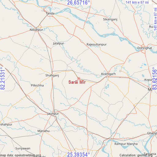
Sarāi Mīr GPS coordinates[2]
26° 1' 37.38" North, 82° 55' 6.348" East
| Map corner | latitude | longitude |
|---|---|---|
| Upper-left | 26.65716°, | 82.21531° |
| Center: | 26.02705°, | 82.91843° |
| Lower-right: | 25.39354°, | 83.62156° |
| Map W x H: | 140.5×140.5 km | = 87.3×87.3mi |
| max Lat: | 34.9274° ⇑29.5% North |
| Sarāi Mīr: | 26.02705° |
| min Lat: | ⇓70.5% South 8.09008° |
| min Long | Sarāi Mīr | max Long |
| 68.82655° | 82.91843° | 96.81° |
| W 79%⇐ | ⇒21% E |
Elevation
Elevation of Sarāi Mīr is 90 m = 295 ft, and this is 205.6 m = 675 ft below average elevation for this country.
| Max E: |
3681 m = 12077 ft | 70.5% |
| Avg. | 295.6 m = 970 ft | |
| Sarāi Mīr | 90 m = 295 ft | |
Min E: |
1 m = 3 ft | 29.5% |
See also: India elevation on elevation.city.
Geographical zone
Sarāi Mīr is located in North temperate zone (between Tropic of Cancer and the Arctic Circle). Distance of this Northern Tropic circle is 288 km =179 mi to South.| Distance of | km | miles | from Sarāi Mīr |
|---|---|---|---|
| North Pole | 7113.1 | 4419.9 | to North |
| Arctic Circle | 4507.2 | 2800.6 | to North |
| Tropic Cancer | 288 | 179 | to South |
| Equator | 2893.9 | 1798.2 | to South |


Nearby cities:
15 places around Sarāi Mīr: (largest is in red/bold)
• Atraulia
34.2 km =21.3 mi,  4°
4°
• Azamgarh
26.9 km =16.7 mi,  80°
80°
• Bilariāganj
36.1 km =22.4 mi,  58°
58°
• Bishunpur Urf Mahārājganj
32.5 km =20.2 mi,  37°
37°
• Jainpur
43.9 km =27.3 mi,  71°
71°
• Jalālpur
36.4 km =22.6 mi,  330°
330°
• Jaunpur
38.2 km =23.7 mi,  217°
217°
• Kirākat
43.3 km =26.9 mi,  180°
180°
• Mehnagar
25.7 km =16 mi,  129°
129°
• Mubārakpur
37.8 km =23.5 mi, 79°
• Muhammadābād
46.2 km =28.7 mi,  89°
89°
• Nizāmābād
14.2 km =8.8 mi, 78°
• Phūlpur
7.1 km =4.4 mi,  323°
323°
• Shāhganj
23.5 km =14.6 mi,  276°
276°
• Zafarābād
40.9 km =25.4 mi,  206°
206°
Sources, notices
• [Note1] Compared only with cities in India existing in our database
• [Src1] Map data: © OpenStreetMap contributors (CC-BY-SA)
• [Src2] Other city data from geonames.org with taken over terms of usage.
• [Src3] Geographical zone / Annual Mean Temperature by Robert A. Rohde @ Wikipedia
