Madhupur geodata
Madhupur (Jharkhand) is a populated place; located in India in Asia/Kolkata (GMT+5.5) time zone. With population of 50,671 people, there are 878 cities with bigger population in this country. Compared to other cities in India, 59.5% of cities are located further ↓South; 88.5% of cities are located further ←West and 59.9% of cities have lower elevation than Madhupur. Note1


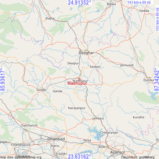
Madhupur GPS coordinates[2]
24° 16' 27.084" North, 86° 38' 21.444" East
| Map corner | latitude | longitude |
|---|---|---|
| Upper-left | 24.91352°, | 85.93617° |
| Center: | 24.27419°, | 86.63929° |
| Lower-right: | 23.63162°, | 87.34242° |
| Map W x H: | 142.5×142.5 km | = 88.5×88.5mi |
| max Lat: | 34.9274° ⇑40.5% North |
| Madhupur: | 24.27419° |
| min Lat: | ⇓59.5% South 8.09008° |
| min Long | Madhupur | max Long |
| 68.82655° | 86.63929° | 96.81° |
| W 88.5%⇐ | ⇒11.5% E |
Elevation
Elevation of Madhupur is 250 m = 820 ft, and this is 45.6 m = 150 ft below average elevation for this country.
| Max E: |
3681 m = 12077 ft | 40.1% |
| Avg. | 295.6 m = 970 ft | |
| Madhupur | 250 m = 820 ft | |
Min E: |
1 m = 3 ft | 59.9% |
See also: Madhupur elevation on elevation.city.
Geographical zone
Madhupur is located in North temperate zone (between Tropic of Cancer and the Arctic Circle). Distance of this Northern Tropic circle is 93.1 km =57.8 mi to South.| Distance of | km | miles | from Madhupur |
|---|---|---|---|
| North Pole | 7308 | 4541 | to North |
| Arctic Circle | 4702.1 | 2921.7 | to North |
| Tropic Cancer | 93.1 | 57.8 | to South |
| Equator | 2699 | 1677.1 | to South |


Nearby cities:
15 places around Madhupur: (largest is in red/bold)
• Chittaranjan
53.6 km =33.3 mi,  149°
149°
• Dhanbād
56.2 km =34.9 mi,  200°
200°
• Dumka
61.8 km =38.4 mi,  90°
90°
• Gobindpur
50.3 km =31.3 mi,  194°
194°
• Gīrīdīh
34.9 km =21.7 mi,  253°
253°
• Jasidih
26.6 km =16.5 mi,  1°
1°
• Jharia
63.5 km =39.5 mi, 201°
• Jhā-Jhā
61.2 km =38 mi,  334°
334°
• Jāmtāra
38.4 km =23.9 mi, 154°
• Kenduadīh
61.5 km =38.2 mi,  205°
205°
• Kātrās
63.3 km =39.3 mi, 213°
• Mugma
56.8 km =35.3 mi,  170°
170°
• Nirsā
54.9 km =34.1 mi, 172°
• Sijua
63.6 km =39.5 mi, 209°
• Topchānchi
60.9 km =37.8 mi,  227°
227°
Sources, notices
• [Note1] Compared only with cities in India existing in our database
• [Src1] Map data: © OpenStreetMap contributors (CC-BY-SA)
• [Src2] Other city data from geonames.org with taken over terms of usage.
• [Src3] Geographical zone / Annual Mean Temperature by Robert A. Rohde @ Wikipedia
