Konnūr geodata
Konnūr (Karnataka) is a populated place; located in India in Asia/Kolkata (GMT+5.5) time zone. With population of 19,166 people, there are 2110 cities with bigger population in this country. Compared to other cities in India, 77.5% of cities are located further ↑North; 84.9% of cities are located further →East and 89.4% of cities have lower elevation than Konnūr. Note1


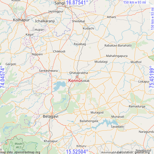
Konnūr GPS coordinates[2]
16° 12' 4.968" North, 74° 44' 55.896" East
| Map corner | latitude | longitude |
|---|---|---|
| Upper-left | 16.87541°, | 74.04574° |
| Center: | 16.20138°, | 74.74886° |
| Lower-right: | 15.52504°, | 75.45199° |
| Map W x H: | 150.1×150.2 km | = 93.3×93.3mi |
| max Lat: | 34.9274° ⇑77.5% North |
| Konnūr: | 16.20138° |
| min Lat: | ⇓22.5% South 8.09008° |
| min Long | Konnūr | max Long |
| 68.82655° | 74.74886° | 96.81° |
| W 15.1%⇐ | ⇒84.9% E |
Elevation
Elevation of Konnūr is 622 m = 2041 ft, and this is 326.4 m = 1071 ft above average elevation for this country.
| Max E: |
3681 m = 12077 ft | 10.6% |
| Konnūr | 622 m 2041 ft | |
| Avg. | 295.6 m = 970 ft | |
Min E: |
1 m = 3 ft | 89.4% |
See also: India elevation on elevation.city.
Geographical zone
Konnūr is located in North Torrid zone (between Equator and Tropic of Cancer). Distance of this Northern Tropic circle is 804.5 km =499.9 mi to North.| Distance of | km | miles | from Konnūr |
|---|---|---|---|
| North Pole | 8205.6 | 5098.7 | to North |
| Arctic Circle | 5599.7 | 3479.5 | to North |
| Tropic Cancer | 804.5 | 499.9 | to North |
| Equator | 1801.4 | 1119.3 | to South |


Nearby cities:
15 places around Konnūr: (largest is in red/bold)
• Bail-Hongal
44.7 km =27.8 mi,  164°
164°
• Belgaum
46.8 km =29.1 mi,  213°
213°
• Chikodi
30.7 km =19.1 mi,  325°
325°
• Gadhinglaj
42.6 km =26.5 mi,  273°
273°
• Gokak
8.8 km =5.5 mi,  114°
114°
• Hukeri
16 km =9.9 mi,  281°
281°
• Kudachi
48.7 km =30.3 mi,  13°
13°
• Mahālingpur
43.7 km =27.2 mi,  61°
61°
• Nipāni
44.8 km =27.8 mi,  299°
299°
• Rabkavi
49.2 km =30.6 mi,  51°
51°
• Rāybāg
32.4 km =20.1 mi,  4°
4°
• Sadalgi
46 km =28.6 mi, 329°
• Sankeshwar
29.1 km =18.1 mi, 282°
• Shiraguppi
46.6 km =29 mi,  354°
354°
• Terdāl
45.5 km =28.3 mi,  44°
44°
Sources, notices
• [Note1] Compared only with cities in India existing in our database
• [Src1] Map data: © OpenStreetMap contributors (CC-BY-SA)
• [Src2] Other city data from geonames.org with taken over terms of usage.
• [Src3] Geographical zone / Annual Mean Temperature by Robert A. Rohde @ Wikipedia
