Jagannāthpur geodata
Jagannāthpur (Jharkhand) is a populated place; located in India in Asia/Kolkata (GMT+5.5) time zone. With population of 7,020 people, there are 3208 cities with bigger population in this country. Compared to other cities in India, 55% of cities are located further ↑North; 86% of cities are located further ←West and 78.2% of cities have lower elevation than Jagannāthpur. Note1


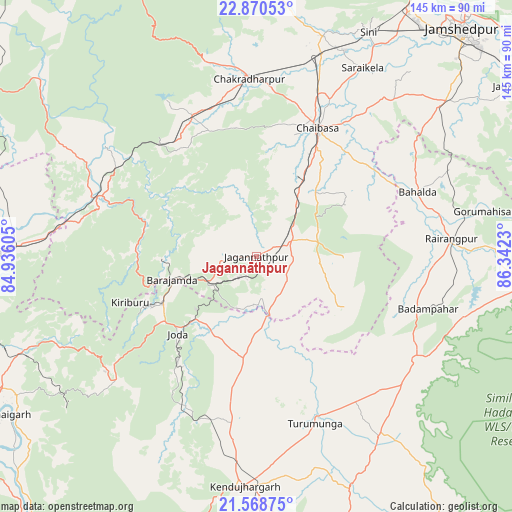
Jagannāthpur GPS coordinates[2]
22° 13' 16.14" North, 85° 38' 21.012" East
| Map corner | latitude | longitude |
|---|---|---|
| Upper-left | 22.87053°, | 84.93605° |
| Center: | 22.22115°, | 85.63917° |
| Lower-right: | 21.56875°, | 86.3423° |
| Map W x H: | 144.7×144.7 km | = 89.9×89.9mi |
| max Lat: | 34.9274° ⇑55% North |
| Jagannāthpur: | 22.22115° |
| min Lat: | ⇓45% South 8.09008° |
| min Long | Jagannāthpur | max Long |
| 68.82655° | 85.63917° | 96.81° |
| W 86%⇐ | ⇒14% E |
Elevation
Elevation of Jagannāthpur is 433 m = 1421 ft, and this is 137.4 m = 451 ft above average elevation for this country.
| Max E: |
3681 m = 12077 ft | 21.8% |
| Jagannāthpur | 433 m 1421 ft | |
| Avg. | 295.6 m = 970 ft | |
Min E: |
1 m = 3 ft | 78.2% |
See also: India elevation on elevation.city.
Geographical zone
Jagannāthpur is located in North Torrid zone (between Equator and Tropic of Cancer). Distance of this Northern Tropic circle is 135.2 km =84 mi to North.| Distance of | km | miles | from Jagannāthpur |
|---|---|---|---|
| North Pole | 7536.3 | 4682.8 | to North |
| Arctic Circle | 4930.4 | 3063.6 | to North |
| Tropic Cancer | 135.2 | 84 | to North |
| Equator | 2470.8 | 1535.3 | to South |


Nearby cities:
15 places around Jagannāthpur: (largest is in red/bold)
• Bada Barabīl
28.7 km =17.8 mi,  244°
244°
• Barbil
30 km =18.6 mi, 243°
• Bolānīkhodān
33.4 km =20.8 mi,  248°
248°
• Chakradharpur
50.6 km =31.4 mi,  358°
358°
• Chiria
38.7 km =24 mi,  284°
284°
• Chāmpua
17.3 km =10.7 mi,  171°
171°
• Chāībāsa
40.3 km =25 mi,  24°
24°
• Gobindpur
63.9 km =39.7 mi,  44°
44°
• Gua
25.9 km =16.1 mi,  268°
268°
• Kharsāwān
66.3 km =41.2 mi, 17°
• Kiri Buru
33.5 km =20.8 mi, 242°
• Kuchaiburi
55.3 km =34.4 mi,  84°
84°
• Manoharpur
49 km =30.4 mi,  290°
290°
• Noāmundi
15.4 km =9.6 mi, 244°
• Saraikela
61.1 km =38 mi,  29°
29°
Sources, notices
• [Note1] Compared only with cities in India existing in our database
• [Src1] Map data: © OpenStreetMap contributors (CC-BY-SA)
• [Src2] Other city data from geonames.org with taken over terms of usage.
• [Src3] Geographical zone / Annual Mean Temperature by Robert A. Rohde @ Wikipedia
