Chakradharpur geodata
Chakradharpur (Jharkhand) is a populated place; located in India in Asia/Kolkata (GMT+5.5) time zone. With population of 40,599 people, there are 1086 cities with bigger population in this country. Compared to other cities in India, 51.3% of cities are located further ↑North; 86% of cities are located further ←West and 56.5% of cities have lower elevation than Chakradharpur. Note1


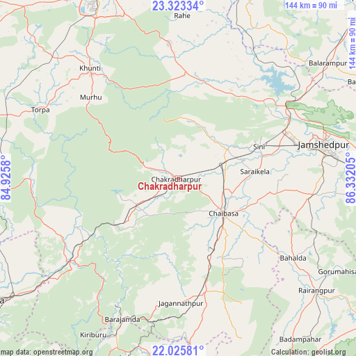
Chakradharpur GPS coordinates[2]
22° 40' 33.996" North, 85° 37' 44.112" East
| Map corner | latitude | longitude |
|---|---|---|
| Upper-left | 23.32334°, | 84.9258° |
| Center: | 22.67611°, | 85.62892° |
| Lower-right: | 22.02581°, | 86.33205° |
| Map W x H: | 144.3×144.3 km | = 89.7×89.7mi |
| max Lat: | 34.9274° ⇑51.3% North |
| Chakradharpur: | 22.67611° |
| min Lat: | ⇓48.7% South 8.09008° |
| min Long | Chakradharpur | max Long |
| 68.82655° | 85.62892° | 96.81° |
| W 86%⇐ | ⇒14% E |
Elevation
Elevation of Chakradharpur is 232 m = 761 ft, and this is 63.6 m = 209 ft below average elevation for this country.
| Max E: |
3681 m = 12077 ft | 43.5% |
| Avg. | 295.6 m = 970 ft | |
| Chakradharpur | 232 m = 761 ft | |
Min E: |
1 m = 3 ft | 56.5% |
See also: Chakradharpur elevation on elevation.city.
Geographical zone
Chakradharpur is located in North Torrid zone (between Equator and Tropic of Cancer). Distance of this Northern Tropic circle is 84.6 km =52.6 mi to North.| Distance of | km | miles | from Chakradharpur |
|---|---|---|---|
| North Pole | 7485.7 | 4651.4 | to North |
| Arctic Circle | 4879.8 | 3032.2 | to North |
| Tropic Cancer | 84.6 | 52.6 | to North |
| Equator | 2521.3 | 1566.7 | to South |


Nearby cities:
15 places around Chakradharpur: (largest is in red/bold)
• Būndu
54.1 km =33.6 mi,  355°
355°
• Chiria
54.4 km =33.8 mi,  221°
221°
• Chāndil
53.6 km =33.3 mi,  54°
54°
• Chāībāsa
22.6 km =14 mi,  128°
128°
• Gobindpur
45.7 km =28.4 mi,  95°
95°
• Gopināthpur
45.8 km =28.5 mi,  91°
91°
• Gua
57.1 km =35.5 mi,  205°
205°
• Jagannāthpur
50.6 km =31.4 mi,  178°
178°
• Jugsālai
58 km =36 mi,  78°
78°
• Kharsāwān
24.3 km =15.1 mi,  58°
58°
• Khunti
57.2 km =35.5 mi,  321°
321°
• Kāndra
47.6 km =29.6 mi,  65°
65°
• Manoharpur
56 km =34.8 mi,  233°
233°
• Saraikela
31.1 km =19.3 mi, 85°
• Sini
35 km =21.7 mi, 68°
Sources, notices
• [Note1] Compared only with cities in India existing in our database
• [Src1] Map data: © OpenStreetMap contributors (CC-BY-SA)
• [Src2] Other city data from geonames.org with taken over terms of usage.
• [Src3] Geographical zone / Annual Mean Temperature by Robert A. Rohde @ Wikipedia
