Ruinas geodata
Ruinas (Sardinia) is a seat of a third-order administrative division; located in Italy in Europe/Rome (GMT+2) time zone. With population of 717 people, there are 8174 cities with bigger population in this country. Compared to other cities in Italy, 88.5% of cities are located further ↑North; 82.8% of cities are located further →East and 65.1% of cities have lower elevation than Ruinas. Note1


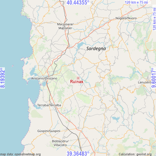
Ruinas GPS coordinates[2]
39° 54' 22.716" North, 8° 53' 49.38" East
| Map corner | latitude | longitude |
|---|---|---|
| Upper-left | 40.44355°, | 8.19392° |
| Center: | 39.90631°, | 8.89705° |
| Lower-right: | 39.36483°, | 9.60017° |
| Map W x H: | 119.9×119.9 km | = 74.5×74.5mi |
| max Lat: | 47.04031° ⇑88.5% North |
| Ruinas: | 39.90631° |
| min Lat: | ⇓11.5% South 35.50142° |
| min Long | Ruinas | max Long |
| 6.69888° | 8.89705° | 18.48682° |
| W 17.2%⇐ | ⇒82.8% E |
Elevation
Elevation of Ruinas is 344 m = 1129 ft, and this is 37.3 m = 122 ft above average elevation for this country.
| Max E: |
2085 m = 6841 ft | 34.9% |
| Ruinas | 344 m 1129 ft | |
| Avg. | 306.7 m = 1006 ft | |
Min E: |
-4 m = -13 ft | 65.1% |
See also: Italy elevation on elevation.city.
Geographical zone
Ruinas is located in North temperate zone (between Tropic of Cancer and the Arctic Circle). Distance of this Northern Tropic circle is 1831.2 km =1137.9 mi to South.| Distance of | km | miles | from Ruinas |
|---|---|---|---|
| North Pole | 5569.9 | 3461 | to North |
| Arctic Circle | 2964 | 1841.7 | to North |
| Tropic Cancer | 1831.2 | 1137.9 | to South |
| Equator | 4437.2 | 2757.1 | to South |


Nearby cities:
15 places around Ruinas: (largest is in red/bold)
• Albagiara
13.6 km =8.5 mi,  192°
192°
• Allai
6.3 km =3.9 mi,  333°
333°
• Assolo
11 km =6.8 mi,  170°
170°
• Asuni
5.7 km =3.5 mi,  133°
133°
• Fordongianus
12.3 km =7.6 mi,  322°
322°
• Mogorella
5.7 km =3.5 mi,  214°
214°
• Nureci
11.4 km =7.1 mi,  144°
144°
• Samugheo
6 km =3.7 mi,  38°
38°
• Senis
9.9 km =6.2 mi,  158°
158°
• Siamanna
11.6 km =7.2 mi,  277°
277°
• Siapiccia
11.7 km =7.3 mi, 281°
• Usellus
11.6 km =7.2 mi,  199°
199°
• Villa Sant'Antonio
5.3 km =3.3 mi,  175°
175°
• Villa Verde
13.9 km =8.6 mi, 207°
• Villaurbana
10.4 km =6.5 mi,  256°
256°
Sources, notices
• [Note1] Compared only with cities in Italy existing in our database
• [Src1] Map data: © OpenStreetMap contributors (CC-BY-SA)
• [Src2] Other city data from geonames.org with taken over terms of usage.
• [Src3] Geographical zone / Annual Mean Temperature by Robert A. Rohde @ Wikipedia
