Valdagno geodata
Valdagno (Veneto) is a seat of a third-order administrative division; located in Italy in Europe/Rome (GMT+2) time zone. With population of 22,555 people, there are 387 cities with bigger population in this country. Compared to other cities in Italy, 78.8% of cities are located further ↓South; 53.1% of cities are located further →East and 55.6% of cities have lower elevation than Valdagno. Note1


Valdagno GPS coordinates[2]
45° 38' 41.928" North, 11° 17' 55.896" East
| Map corner | latitude | longitude |
|---|---|---|
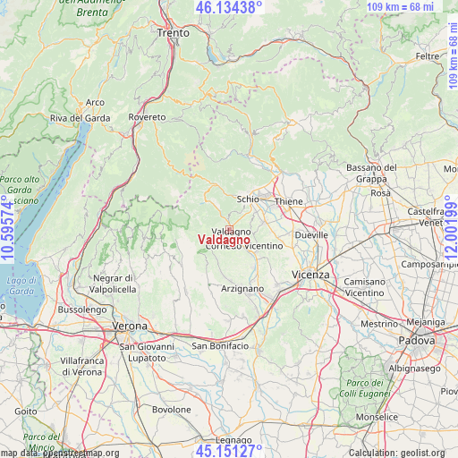
| Upper-left | 46.13438°, | 10.59574° |
| Center: | 45.64498°, | 11.29886° |
| Lower-right: | 45.15127°, | 12.00199° |
| Map W x H: | 109.3×109.3 km | = 67.9×67.9mi |
| max Lat: | 47.04031° ⇑21.2% North |
| Valdagno: | 45.64498° |
| min Lat: | ⇓78.8% South 35.50142° |
| min Long | Valdagno | max Long |
| 6.69888° | 11.29886° | 18.48682° |
| W 46.9%⇐ | ⇒53.1% E |
Elevation
Elevation of Valdagno is 269 m = 883 ft, and this is 37.7 m = 124 ft below average elevation for this country.
| Max E: |
2085 m = 6841 ft | 44.4% |
| Avg. | 306.7 m = 1006 ft | |
| Valdagno | 269 m = 883 ft | |
Min E: |
-4 m = -13 ft | 55.6% |
See also: Italy elevation on elevation.city.
Geographical zone
Valdagno is located in North temperate zone (between Tropic of Cancer and the Arctic Circle). Distance of this North polar circle is 2325.9 km =1445.2 mi to North.| Distance of | km | miles | from Valdagno |
|---|---|---|---|
| North Pole | 4931.8 | 3064.5 | to North |
| Arctic Circle | 2325.9 | 1445.2 | to North |
| Tropic Cancer | 2469.3 | 1534.4 | to South |
| Equator | 5075.2 | 3153.6 | to South |


Nearby cities:
15 places around Valdagno: (largest is in red/bold)
• Altissimo
5 km =3.1 mi,  226°
226°
• Brogliano
8.1 km =5 mi,  140°
140°
• Cereda-Cozza Cornedo
7.2 km =4.5 mi,  132°
132°
• Cornedo Vicentino
4.1 km =2.5 mi, 140°
• Crespadoro
6.3 km =3.9 mi,  244°
244°
• Malo
9.2 km =5.7 mi,  80°
80°
• Molino-Mozzi-Bittarelli
6.1 km =3.8 mi, 234°
• Monte di Malo
5.1 km =3.2 mi,  70°
70°
• Nogarole Vicentino
9.5 km =5.9 mi,  184°
184°
• Recoaro Terme
8.8 km =5.5 mi,  317°
317°
• San Pietro Mussolino
7.5 km =4.7 mi,  204°
204°
• San Quirico
4.1 km =2.5 mi,  330°
330°
• San Vito di Leguzzano
8.3 km =5.2 mi,  57°
57°
• Schio
8.8 km =5.5 mi,  30°
30°
• Torrebelvicino
8 km =5 mi,  11°
11°
Sources, notices
• [Note1] Compared only with cities in Italy existing in our database
• [Src1] Map data: © OpenStreetMap contributors (CC-BY-SA)
• [Src2] Other city data from geonames.org with taken over terms of usage.
• [Src3] Geographical zone / Annual Mean Temperature by Robert A. Rohde @ Wikipedia
