Terzorio geodata
Terzorio (Liguria) is a seat of a third-order administrative division; located in Italy in Europe/Rome (GMT+2) time zone. With population of 198 people, there are 11143 cities with bigger population in this country. Compared to other cities in Italy, 56.3% of cities are located further ↑North; 94.7% of cities are located further →East and 55.8% of cities have higher elevation than Terzorio. Note1


Terzorio GPS coordinates[2]
43° 51' 8.352" North, 7° 53' 54.06" East
| Map corner | latitude | longitude |
|---|---|---|
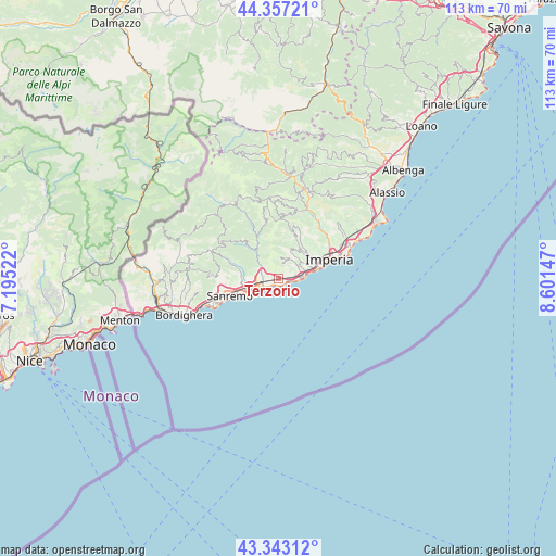
| Upper-left | 44.35721°, | 7.19522° |
| Center: | 43.85232°, | 7.89835° |
| Lower-right: | 43.34312°, | 8.60147° |
| Map W x H: | 112.8×112.8 km | = 70.1×70.1mi |
| max Lat: | 47.04031° ⇑56.3% North |
| Terzorio: | 43.85232° |
| min Lat: | ⇓43.7% South 35.50142° |
| min Long | Terzorio | max Long |
| 6.69888° | 7.89835° | 18.48682° |
| W 5.3%⇐ | ⇒94.7% E |
Elevation
Elevation of Terzorio is 197 m = 646 ft, and this is 109.7 m = 360 ft below average elevation for this country.
| Max E: |
2085 m = 6841 ft | 55.8% |
| Avg. | 306.7 m = 1006 ft | |
| Terzorio | 197 m = 646 ft | |
Min E: |
-4 m = -13 ft | 44.2% |
See also: Italy elevation on elevation.city.
Geographical zone
Terzorio is located in North temperate zone (between Tropic of Cancer and the Arctic Circle). Distance of this Northern Tropic circle is 2270 km =1410.5 mi to South.| Distance of | km | miles | from Terzorio |
|---|---|---|---|
| North Pole | 5131.1 | 3188.3 | to North |
| Arctic Circle | 2525.3 | 1569.1 | to North |
| Tropic Cancer | 2270 | 1410.5 | to South |
| Equator | 4875.9 | 3029.7 | to South |


Nearby cities:
15 places around Terzorio: (largest is in red/bold)
• Badalucco
8.3 km =5.2 mi,  329°
329°
• Castellaro
2.7 km =1.7 mi,  299°
299°
• Cipressa
2.7 km =1.7 mi,  90°
90°
• Civezza
5.3 km =3.3 mi,  54°
54°
• Costarainera
3.4 km =2.1 mi, 85°
• Dolcedo
7.4 km =4.6 mi,  33°
33°
• Molini
8.8 km =5.5 mi,  21°
21°
• Montalto Ligure
9.5 km =5.9 mi, 333°
• Pietrabruna
4.1 km =2.5 mi,  5°
5°
• Poggi Inferiore Poggi Superiore
7.1 km =4.4 mi,  73°
73°
• Pompeiana
0.8 km =0.5 mi,  275°
275°
• Riva Ligure
2.1 km =1.3 mi,  225°
225°
• San Lorenzo al Mare
5.3 km =3.3 mi, 88°
• Santo Stefano al Mare
1.5 km =0.9 mi,  183°
183°
• Taggia
3.8 km =2.4 mi,  259°
259°
Sources, notices
• [Note1] Compared only with cities in Italy existing in our database
• [Src1] Map data: © OpenStreetMap contributors (CC-BY-SA)
• [Src2] Other city data from geonames.org with taken over terms of usage.
• [Src3] Geographical zone / Annual Mean Temperature by Robert A. Rohde @ Wikipedia
