Roana geodata
Roana (Veneto) is a populated place; located in Italy in Europe/Rome (GMT+2) time zone. With population of 1,093 people, there are 6317 cities with bigger population in this country. Compared to other cities in Italy, 88.5% of cities are located further ↓South; 51.2% of cities are located further →East and 97.2% of cities have lower elevation than Roana. Note1


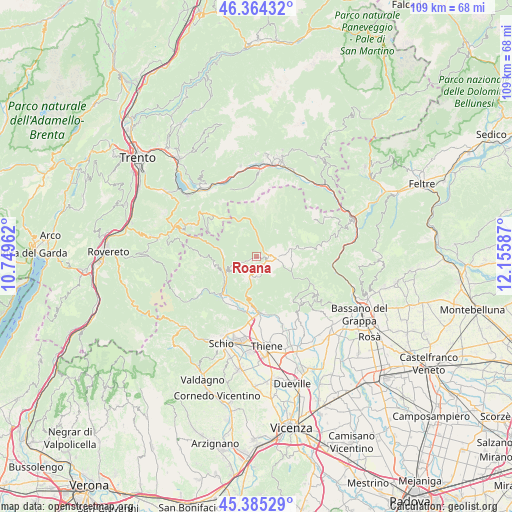
Roana GPS coordinates[2]
45° 52' 37.056" North, 11° 27' 9.864" East
| Map corner | latitude | longitude |
|---|---|---|
| Upper-left | 46.36432°, | 10.74962° |
| Center: | 45.87696°, | 11.45274° |
| Lower-right: | 45.38529°, | 12.15587° |
| Map W x H: | 108.9×108.9 km | = 67.7×67.7mi |
| max Lat: | 47.04031° ⇑11.5% North |
| Roana: | 45.87696° |
| min Lat: | ⇓88.5% South 35.50142° |
| min Long | Roana | max Long |
| 6.69888° | 11.45274° | 18.48682° |
| W 48.8%⇐ | ⇒51.2% E |
Elevation
Elevation of Roana is 1021 m = 3350 ft, and this is 714.3 m = 2344 ft above average elevation for this country.
| Max E: |
2085 m = 6841 ft | 2.8% |
| Roana | 1021 m 3350 ft | |
| Avg. | 306.7 m = 1006 ft | |
Min E: |
-4 m = -13 ft | 97.2% |
See also: Italy elevation on elevation.city.
Geographical zone
Roana is located in North temperate zone (between Tropic of Cancer and the Arctic Circle). Distance of this North polar circle is 2300.1 km =1429.2 mi to North.| Distance of | km | miles | from Roana |
|---|---|---|---|
| North Pole | 4906 | 3048.4 | to North |
| Arctic Circle | 2300.1 | 1429.2 | to North |
| Tropic Cancer | 2495.1 | 1550.4 | to South |
| Equator | 5101 | 3169.6 | to South |


Nearby cities:
15 places around Roana: (largest is in red/bold)
• Arsiero
11 km =6.8 mi,  222°
222°
• Asiago
4.6 km =2.9 mi,  91°
91°
• Caltrano
11.5 km =7.1 mi,  178°
178°
• Canove di Roana
2.2 km =1.4 mi,  132°
132°
• Cesuna
4.4 km =2.7 mi, 176°
• Cogollo del Cengio
10.6 km =6.6 mi,  191°
191°
• Gallio
6.4 km =4 mi,  81°
81°
• Longhi
11.5 km =7.1 mi,  287°
287°
• Luserna
11.3 km =7 mi,  296°
296°
• Rodeghieri-Rigoni-Podestà-Costa
5 km =3.1 mi,  73°
73°
• Rotzo
4.7 km =2.9 mi,  249°
249°
• San Pietro Valdastico
7.1 km =4.4 mi,  278°
278°
• Seghe
10.7 km =6.6 mi, 215°
• Tonezza del Cimone
8.5 km =5.3 mi,  256°
256°
• Treschè Conca
4.6 km =2.9 mi,  203°
203°
Sources, notices
• [Note1] Compared only with cities in Italy existing in our database
• [Src1] Map data: © OpenStreetMap contributors (CC-BY-SA)
• [Src2] Other city data from geonames.org with taken over terms of usage.
• [Src3] Geographical zone / Annual Mean Temperature by Robert A. Rohde @ Wikipedia
