Oris geodata
Oris (Trentino-Alto Adige) is a populated place; located in Italy in Europe/Rome (GMT+2) time zone. With population of 764 people, there are 7855 cities with bigger population in this country. Compared to other cities in Italy, 99% of cities are located further ↓South; 61.4% of cities are located further →East and 95.1% of cities have lower elevation than Oris. Note1


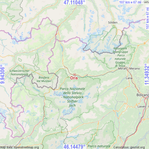
Oris GPS coordinates[2]
46° 37' 47.244" North, 10° 38' 46.284" East
| Map corner | latitude | longitude |
|---|---|---|
| Upper-left | 47.11048°, | 9.94306° |
| Center: | 46.62979°, | 10.64619° |
| Lower-right: | 46.14479°, | 11.34932° |
| Map W x H: | 107.4×107.4 km | = 66.7×66.7mi |
| max Lat: | 47.04031° ⇑1% North |
| Oris: | 46.62979° |
| min Lat: | ⇓99% South 35.50142° |
| min Long | Oris | max Long |
| 6.69888° | 10.64619° | 18.48682° |
| W 38.6%⇐ | ⇒61.4% E |
Elevation
Elevation of Oris is 878 m = 2881 ft, and this is 571.3 m = 1874 ft above average elevation for this country.
| Max E: |
2085 m = 6841 ft | 4.9% |
| Oris | 878 m 2881 ft | |
| Avg. | 306.7 m = 1006 ft | |
Min E: |
-4 m = -13 ft | 95.1% |
See also: Italy elevation on elevation.city.
Geographical zone
Oris is located in North temperate zone (between Tropic of Cancer and the Arctic Circle). Distance of this North polar circle is 2216.4 km =1377.2 mi to North.| Distance of | km | miles | from Oris |
|---|---|---|---|
| North Pole | 4822.3 | 2996.4 | to North |
| Arctic Circle | 2216.4 | 1377.2 | to North |
| Tropic Cancer | 2578.8 | 1602.4 | to South |
| Equator | 5184.7 | 3221.6 | to South |


Nearby cities:
15 places around Oris: (largest is in red/bold)
• Burgusio
12.6 km =7.8 mi,  315°
315°
• Coldrano
13.8 km =8.6 mi,  93°
93°
• Ganda
13.2 km =8.2 mi,  129°
129°
• Glorenza
8.2 km =5.1 mi,  303°
303°
• Laces
16.2 km =10.1 mi,  95°
95°
• Lasa
4.2 km =2.6 mi,  108°
108°
• Laudes
10.3 km =6.4 mi, 301°
• Malles Venosta
10 km =6.2 mi,  310°
310°
• Meiern
12.7 km =7.9 mi,  124°
124°
• Morter
13.7 km =8.5 mi, 100°
• Prato Allo Stelvio
4.4 km =2.7 mi,  254°
254°
• Silandro
9.3 km =5.8 mi, 91°
• Sluderno
6.2 km =3.9 mi, 309°
• Stelvio
8.5 km =5.3 mi, 245°
• Tubre
14.1 km =8.8 mi,  276°
276°
Sources, notices
• [Note1] Compared only with cities in Italy existing in our database
• [Src1] Map data: © OpenStreetMap contributors (CC-BY-SA)
• [Src2] Other city data from geonames.org with taken over terms of usage.
• [Src3] Geographical zone / Annual Mean Temperature by Robert A. Rohde @ Wikipedia
