Mulazzo geodata
Mulazzo (Tuscany) is a seat of a third-order administrative division; located in Italy in Europe/Rome (GMT+2) time zone. With population of 200 people, there are 11136 cities with bigger population in this country. Compared to other cities in Italy, 51.7% of cities are located further ↑North; 68.9% of cities are located further →East and 62.4% of cities have lower elevation than Mulazzo. Note1


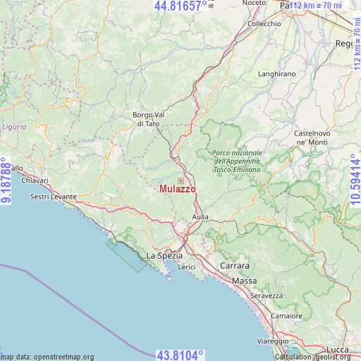
Mulazzo GPS coordinates[2]
44° 18' 56.304" North, 9° 53' 27.636" East
| Map corner | latitude | longitude |
|---|---|---|
| Upper-left | 44.81657°, | 9.18788° |
| Center: | 44.31564°, | 9.89101° |
| Lower-right: | 43.8104°, | 10.59414° |
| Map W x H: | 111.9×111.9 km | = 69.5×69.5mi |
| max Lat: | 47.04031° ⇑51.7% North |
| Mulazzo: | 44.31564° |
| min Lat: | ⇓48.3% South 35.50142° |
| min Long | Mulazzo | max Long |
| 6.69888° | 9.89101° | 18.48682° |
| W 31.1%⇐ | ⇒68.9% E |
Elevation
Elevation of Mulazzo is 318 m = 1043 ft, and this is 11.3 m = 37 ft above average elevation for this country.
| Max E: |
2085 m = 6841 ft | 37.6% |
| Mulazzo | 318 m 1043 ft | |
| Avg. | 306.7 m = 1006 ft | |
Min E: |
-4 m = -13 ft | 62.4% |
See also: Italy elevation on elevation.city.
Geographical zone
Mulazzo is located in North temperate zone (between Tropic of Cancer and the Arctic Circle). Distance of this Northern Tropic circle is 2321.5 km =1442.5 mi to South.| Distance of | km | miles | from Mulazzo |
|---|---|---|---|
| North Pole | 5079.6 | 3156.3 | to North |
| Arctic Circle | 2473.7 | 1537.1 | to North |
| Tropic Cancer | 2321.5 | 1442.5 | to South |
| Equator | 4927.4 | 3061.7 | to South |


Nearby cities:
15 places around Mulazzo: (largest is in red/bold)
• Arpiola-Pianfurcano
1.5 km =0.9 mi,  59°
59°
• Bagnone
8.3 km =5.2 mi,  90°
90°
• Barbarasco
9.3 km =5.8 mi,  152°
152°
• Calice al Cornoviglio
9.1 km =5.7 mi,  208°
208°
• Filattiera
3.7 km =2.3 mi, 64°
• Masero
11.7 km =7.3 mi, 147°
• Monti
12 km =7.5 mi,  128°
128°
• Patigno
11 km =6.8 mi,  292°
292°
• Pieve di Zignago
12.3 km =7.6 mi,  250°
250°
• Pontremoli
6.7 km =4.2 mi,  351°
351°
• Stallone-Talavorno
2 km =1.2 mi, 86°
• Terrarossa
10.7 km =6.6 mi, 148°
• Tresana
7 km =4.3 mi,  165°
165°
• Villafranca in Lunigiana
5.3 km =3.3 mi,  111°
111°
• Zeri
11 km =6.8 mi, 292°
Sources, notices
• [Note1] Compared only with cities in Italy existing in our database
• [Src1] Map data: © OpenStreetMap contributors (CC-BY-SA)
• [Src2] Other city data from geonames.org with taken over terms of usage.
• [Src3] Geographical zone / Annual Mean Temperature by Robert A. Rohde @ Wikipedia
