Marotta geodata
Marotta (The Marches) is a populated place; located in Italy in Europe/Rome (GMT+2) time zone. With population of 6,465 people, there are 1515 cities with bigger population in this country. Compared to other cities in Italy, 57.4% of cities are located further ↑North; 69.9% of cities are located further ←West and 99.7% of cities have higher elevation than Marotta. Note1
Administrative division(s):
- Level 1: The Marches
- Level 2: Provincia di Pesaro e Urbino
- Level 3: Mondolfo


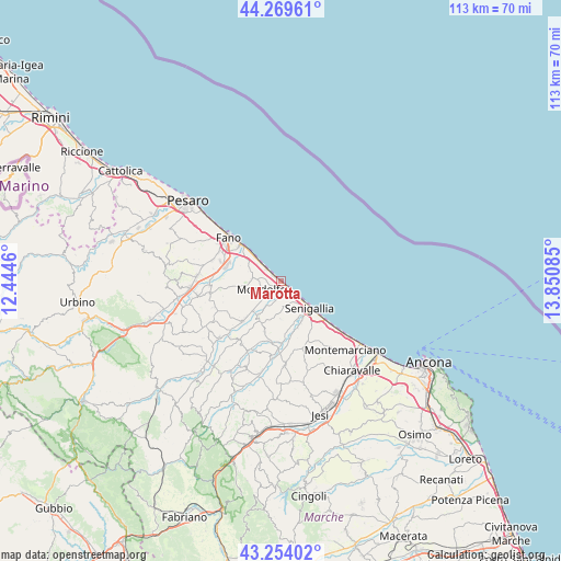
Marotta GPS coordinates[2]
43° 45' 50.292" North, 13° 8' 51.792" East
| Map corner | latitude | longitude |
|---|---|---|
| Upper-left | 44.26961°, | 12.4446° |
| Center: | 43.76397°, | 13.14772° |
| Lower-right: | 43.25402°, | 13.85085° |
| Map W x H: | 112.9×112.9 km | = 70.2×70.2mi |
| max Lat: | 47.04031° ⇑57.4% North |
| Marotta: | 43.76397° |
| min Lat: | ⇓42.6% South 35.50142° |
| min Long | Marotta | max Long |
| 6.69888° | 13.14772° | 18.48682° |
| W 69.9%⇐ | ⇒30.1% E |
Elevation
Elevation of Marotta is 0 m = 0 ft, and this is 306.7 m = 1006 ft below average elevation for this country.
| Max E: |
2085 m = 6841 ft | 99.7% |
| Avg. | 306.7 m = 1006 ft | |
| Marotta | 0 m = 0 ft | |
Min E: |
-4 m = -13 ft | 0.3% |
See also: Italy elevation on elevation.city.
Geographical zone
Marotta is located in North temperate zone (between Tropic of Cancer and the Arctic Circle). Distance of this Northern Tropic circle is 2260.2 km =1404.4 mi to South.| Distance of | km | miles | from Marotta |
|---|---|---|---|
| North Pole | 5141 | 3194.5 | to North |
| Arctic Circle | 2535.1 | 1575.2 | to North |
| Tropic Cancer | 2260.2 | 1404.4 | to South |
| Equator | 4866.1 | 3023.7 | to South |


Nearby cities:
15 places around Marotta: (largest is in red/bold)
• Bellocchi
11.9 km =7.4 mi,  287°
287°
• Castelvecchio
10.1 km =6.3 mi,  224°
224°
• Marotta
5.8 km =3.6 mi,  312°
312°
• Mondolfo
4.2 km =2.6 mi,  240°
240°
• Monte Porzio
11.5 km =7.1 mi,  225°
225°
• Monterado
8.8 km =5.5 mi,  211°
211°
• Passo Ripe
12.2 km =7.6 mi,  189°
189°
• Ripe
11.1 km =6.9 mi,  197°
197°
• Rosciano
13.2 km =8.2 mi,  296°
296°
• San Costanzo
6 km =3.7 mi,  273°
273°
• Sant'Angelo
11.2 km =7 mi,  150°
150°
• Senigallia
7.2 km =4.5 mi,  137°
137°
• Solfanuccio
7.2 km =4.5 mi,  262°
262°
• Tombaccia
10 km =6.2 mi, 310°
• Vallone
9.9 km =6.2 mi,  160°
160°
Sources, notices
• [Note1] Compared only with cities in Italy existing in our database
• [Src1] Map data: © OpenStreetMap contributors (CC-BY-SA)
• [Src2] Other city data from geonames.org with taken over terms of usage.
• [Src3] Geographical zone / Annual Mean Temperature by Robert A. Rohde @ Wikipedia
