Maleo geodata
Maleo (Lombardy) is a seat of a third-order administrative division; located in Italy in Europe/Rome (GMT+2) time zone. With population of 2,868 people, there are 3148 cities with bigger population in this country. Compared to other cities in Italy, 64.2% of cities are located further ↓South; 70.1% of cities are located further →East and 78.1% of cities have higher elevation than Maleo. Note1


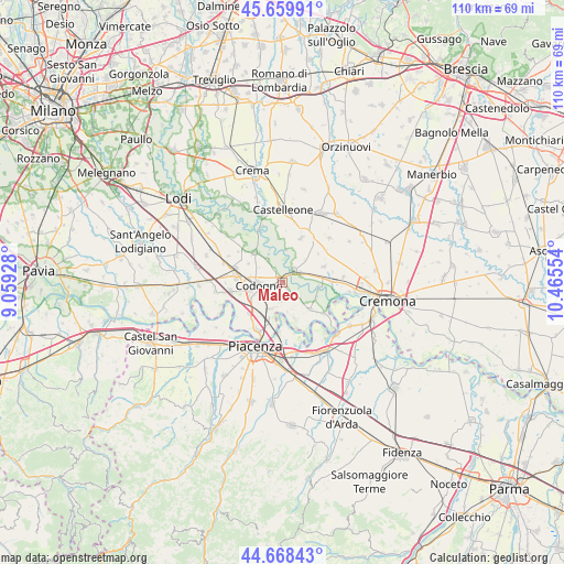
Maleo GPS coordinates[2]
45° 9' 58.788" North, 9° 45' 44.676" East
| Map corner | latitude | longitude |
|---|---|---|
| Upper-left | 45.65991°, | 9.05928° |
| Center: | 45.16633°, | 9.76241° |
| Lower-right: | 44.66843°, | 10.46554° |
| Map W x H: | 110.2×110.2 km | = 68.5×68.5mi |
| max Lat: | 47.04031° ⇑35.8% North |
| Maleo: | 45.16633° |
| min Lat: | ⇓64.2% South 35.50142° |
| min Long | Maleo | max Long |
| 6.69888° | 9.76241° | 18.48682° |
| W 29.9%⇐ | ⇒70.1% E |
Elevation
Elevation of Maleo is 59 m = 194 ft, and this is 247.7 m = 813 ft below average elevation for this country.
| Max E: |
2085 m = 6841 ft | 78.1% |
| Avg. | 306.7 m = 1006 ft | |
| Maleo | 59 m = 194 ft | |
Min E: |
-4 m = -13 ft | 21.9% |
See also: Italy elevation on elevation.city.
Geographical zone
Maleo is located in North temperate zone (between Tropic of Cancer and the Arctic Circle). Distance of this North polar circle is 2379.1 km =1478.3 mi to North.| Distance of | km | miles | from Maleo |
|---|---|---|---|
| North Pole | 4985 | 3097.5 | to North |
| Arctic Circle | 2379.1 | 1478.3 | to North |
| Tropic Cancer | 2416.1 | 1501.3 | to South |
| Equator | 5022 | 3120.5 | to South |


Nearby cities:
15 places around Maleo: (largest is in red/bold)
• Camairago
5.1 km =3.2 mi,  327°
327°
• Cavacurta
3.1 km =1.9 mi, 328°
• Codogno
4.7 km =2.9 mi,  264°
264°
• Corno Giovine
3.6 km =2.2 mi,  185°
185°
• Cornovecchio
4.4 km =2.7 mi,  138°
138°
• Crotta d'Adda
7.4 km =4.6 mi,  96°
96°
• Fombio
7 km =4.3 mi,  246°
246°
• Formigara
6.3 km =3.9 mi,  5°
5°
• Maccastorna
7.5 km =4.7 mi,  106°
106°
• Pizzighettone
3 km =1.9 mi,  41°
41°
• Regona
6.2 km =3.9 mi,  45°
45°
• Retegno
5.3 km =3.3 mi, 249°
• Roggione
4 km =2.5 mi,  61°
61°
• San Fiorano
4.5 km =2.8 mi,  226°
226°
• Santo Stefano Lodigiano
5.7 km =3.5 mi,  201°
201°
Sources, notices
• [Note1] Compared only with cities in Italy existing in our database
• [Src1] Map data: © OpenStreetMap contributors (CC-BY-SA)
• [Src2] Other city data from geonames.org with taken over terms of usage.
• [Src3] Geographical zone / Annual Mean Temperature by Robert A. Rohde @ Wikipedia
