Angeli geodata
Angeli (The Marches) is a populated place; located in Italy in Europe/Rome (GMT+2) time zone. With population of 885 people, there are 7236 cities with bigger population in this country. Compared to other cities in Italy, 60.1% of cities are located further ↑North; 69.1% of cities are located further ←West and 63.9% of cities have higher elevation than Angeli. Note1


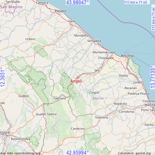
Angeli GPS coordinates[2]
43° 28' 20.496" North, 13° 4' 5.592" East
| Map corner | latitude | longitude |
|---|---|---|
| Upper-left | 43.98047°, | 12.3651° |
| Center: | 43.47236°, | 13.06822° |
| Lower-right: | 42.95994°, | 13.77135° |
| Map W x H: | 113.5×113.5 km | = 70.5×70.5mi |
| max Lat: | 47.04031° ⇑60.1% North |
| Angeli: | 43.47236° |
| min Lat: | ⇓39.9% South 35.50142° |
| min Long | Angeli | max Long |
| 6.69888° | 13.06822° | 18.48682° |
| W 69.1%⇐ | ⇒30.9% E |
Elevation
Elevation of Angeli is 135 m = 443 ft, and this is 171.7 m = 563 ft below average elevation for this country.
| Max E: |
2085 m = 6841 ft | 63.9% |
| Avg. | 306.7 m = 1006 ft | |
| Angeli | 135 m = 443 ft | |
Min E: |
-4 m = -13 ft | 36.1% |
See also: Italy elevation on elevation.city.
Geographical zone
Angeli is located in North temperate zone (between Tropic of Cancer and the Arctic Circle). Distance of this Northern Tropic circle is 2227.8 km =1384.3 mi to South.| Distance of | km | miles | from Angeli |
|---|---|---|---|
| North Pole | 5173.4 | 3214.6 | to North |
| Arctic Circle | 2567.5 | 1595.4 | to North |
| Tropic Cancer | 2227.8 | 1384.3 | to South |
| Equator | 4833.7 | 3003.5 | to South |


Nearby cities:
15 places around Angeli: (largest is in red/bold)
• Angeli Stazione
1.3 km =0.8 mi,  45°
45°
• Angeli di Mergo
1.4 km =0.9 mi,  230°
230°
• Castelbellino
6.4 km =4 mi,  75°
75°
• Castelplanio
2.7 km =1.7 mi,  24°
24°
• Cupramontana
4.4 km =2.7 mi,  124°
124°
• Macine-Borgo Loreto
2.2 km =1.4 mi, 45°
• Maiolati Spontini
4.2 km =2.6 mi, 83°
• Mergo
2.7 km =1.7 mi,  272°
272°
• Moie
6.3 km =3.9 mi,  56°
56°
• Monte Roberto
5.7 km =3.5 mi, 80°
• Montecarotto
6.2 km =3.9 mi,  358°
358°
• Poggio San Marcello
4.3 km =2.7 mi,  5°
5°
• Rosora
1.2 km =0.7 mi, 359°
• Serra San Quirico
4.7 km =2.9 mi, 231°
• Stazione
7.4 km =4.6 mi,  65°
65°
Sources, notices
• [Note1] Compared only with cities in Italy existing in our database
• [Src1] Map data: © OpenStreetMap contributors (CC-BY-SA)
• [Src2] Other city data from geonames.org with taken over terms of usage.
• [Src3] Geographical zone / Annual Mean Temperature by Robert A. Rohde @ Wikipedia
