Giulianello geodata
Giulianello (Latium) is a populated place; located in Italy in Europe/Rome (GMT+2) time zone. With population of 2,519 people, there are 3501 cities with bigger population in this country. Compared to other cities in Italy, 73% of cities are located further ↑North; 67% of cities are located further ←West and 50.3% of cities have higher elevation than Giulianello. Note1


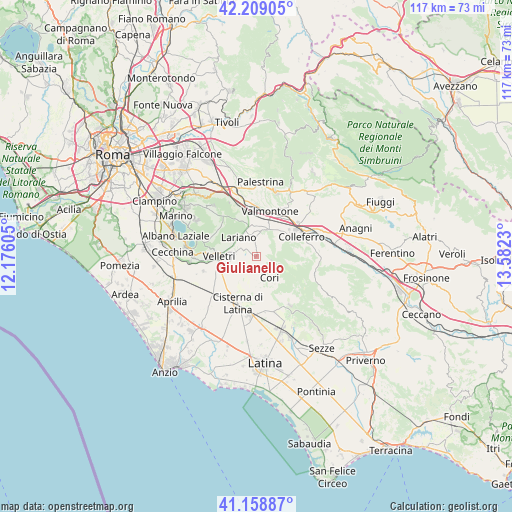
Giulianello GPS coordinates[2]
41° 41' 9.96" North, 12° 52' 45.012" East
| Map corner | latitude | longitude |
|---|---|---|
| Upper-left | 42.20905°, | 12.17605° |
| Center: | 41.6861°, | 12.87917° |
| Lower-right: | 41.15887°, | 13.5823° |
| Map W x H: | 116.8×116.8 km | = 72.6×72.6mi |
| max Lat: | 47.04031° ⇑73% North |
| Giulianello: | 41.6861° |
| min Lat: | ⇓27% South 35.50142° |
| min Long | Giulianello | max Long |
| 6.69888° | 12.87917° | 18.48682° |
| W 67%⇐ | ⇒33% E |
Elevation
Elevation of Giulianello is 233 m = 764 ft, and this is 73.7 m = 242 ft below average elevation for this country.
| Max E: |
2085 m = 6841 ft | 50.3% |
| Avg. | 306.7 m = 1006 ft | |
| Giulianello | 233 m = 764 ft | |
Min E: |
-4 m = -13 ft | 49.7% |
See also: Italy elevation on elevation.city.
Geographical zone
Giulianello is located in North temperate zone (between Tropic of Cancer and the Arctic Circle). Distance of this Northern Tropic circle is 2029.1 km =1260.8 mi to South.| Distance of | km | miles | from Giulianello |
|---|---|---|---|
| North Pole | 5372 | 3338 | to North |
| Arctic Circle | 2766.1 | 1718.8 | to North |
| Tropic Cancer | 2029.1 | 1260.8 | to South |
| Equator | 4635.1 | 2880.1 | to South |


Nearby cities:
15 places around Giulianello: (largest is in red/bold)
• Artena
6.5 km =4 mi,  20°
20°
• Carchitti
11.9 km =7.4 mi,  339°
339°
• Cisterna di Latina
11.4 km =7.1 mi,  201°
201°
• Colle Spina
11 km =6.8 mi,  346°
346°
• Colleferro
11.4 km =7.1 mi,  66°
66°
• Colubro
5.5 km =3.4 mi, 349°
• Cori
5.4 km =3.4 mi,  150°
150°
• Labico
11.9 km =7.4 mi,  356°
356°
• Lariano
5.5 km =3.4 mi,  310°
310°
• Macere
7.2 km =4.5 mi, 346°
• Rocca Massima
3.6 km =2.2 mi,  102°
102°
• Segni
11.6 km =7.2 mi,  88°
88°
• Valmontone
10.2 km =6.3 mi, 18°
• Velletri
8.4 km =5.2 mi,  269°
269°
• Via Latina Iv Km
8.7 km =5.4 mi,  51°
51°
Sources, notices
• [Note1] Compared only with cities in Italy existing in our database
• [Src1] Map data: © OpenStreetMap contributors (CC-BY-SA)
• [Src2] Other city data from geonames.org with taken over terms of usage.
• [Src3] Geographical zone / Annual Mean Temperature by Robert A. Rohde @ Wikipedia
