Eboli geodata
Eboli (Campania) is a seat of a third-order administrative division; located in Italy in Europe/Rome (GMT+2) time zone. With population of 26,183 people, there are 311 cities with bigger population in this country. Compared to other cities in Italy, 83.3% of cities are located further ↑North; 87.6% of cities are located further ←West and 66.9% of cities have higher elevation than Eboli. Note1


Eboli GPS coordinates[2]
40° 37' 2.892" North, 15° 3' 24.948" East
| Map corner | latitude | longitude |
|---|---|---|
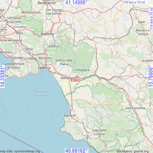
| Upper-left | 41.14906°, | 14.35381° |
| Center: | 40.61747°, | 15.05693° |
| Lower-right: | 40.08162°, | 15.76006° |
| Map W x H: | 118.7×118.7 km | = 73.8×73.8mi |
| max Lat: | 47.04031° ⇑83.3% North |
| Eboli: | 40.61747° |
| min Lat: | ⇓16.7% South 35.50142° |
| min Long | Eboli | max Long |
| 6.69888° | 15.05693° | 18.48682° |
| W 87.6%⇐ | ⇒12.4% E |
Elevation
Elevation of Eboli is 116 m = 381 ft, and this is 190.7 m = 626 ft below average elevation for this country.
| Max E: |
2085 m = 6841 ft | 66.9% |
| Avg. | 306.7 m = 1006 ft | |
| Eboli | 116 m = 381 ft | |
Min E: |
-4 m = -13 ft | 33.1% |
See also: Italy elevation on elevation.city.
Geographical zone
Eboli is located in North temperate zone (between Tropic of Cancer and the Arctic Circle). Distance of this Northern Tropic circle is 1910.3 km =1187 mi to South.| Distance of | km | miles | from Eboli |
|---|---|---|---|
| North Pole | 5490.8 | 3411.8 | to North |
| Arctic Circle | 2884.9 | 1792.6 | to North |
| Tropic Cancer | 1910.3 | 1187 | to South |
| Equator | 4516.2 | 2806.2 | to South |


Nearby cities:
15 places around Eboli: (largest is in red/bold)
• Ariano
5.1 km =3.2 mi,  328°
328°
• Battipaglia
6.4 km =4 mi,  261°
261°
• Bellizzi
9.3 km =5.8 mi,  271°
271°
• Borgo Carillia
9.4 km =5.8 mi,  177°
177°
• Campagna
6.9 km =4.3 mi,  37°
37°
• Cerrelli
10.7 km =6.6 mi,  157°
157°
• Macchia
7.7 km =4.8 mi,  301°
301°
• Montecorvino Rovella
10.6 km =6.6 mi,  321°
321°
• Monticelli
5 km =3.1 mi, 316°
• Olevano sul Tusciano
5.3 km =3.3 mi, 327°
• Pratole
11.1 km =6.9 mi, 274°
• Puglietta
8.9 km =5.5 mi,  65°
65°
• Quadrivio
4 km =2.5 mi,  78°
78°
• Salitto-Valle
6.9 km =4.3 mi,  335°
335°
• Santa Lucia-Santa Maria la Nova
2.4 km =1.5 mi,  54°
54°
Sources, notices
• [Note1] Compared only with cities in Italy existing in our database
• [Src1] Map data: © OpenStreetMap contributors (CC-BY-SA)
• [Src2] Other city data from geonames.org with taken over terms of usage.
• [Src3] Geographical zone / Annual Mean Temperature by Robert A. Rohde @ Wikipedia
