Cerneglons geodata
Cerneglons (Friuli Venezia Giulia) is a populated place; located in Italy in Europe/Rome (GMT+2) time zone. With population of 647 people, there are 8651 cities with bigger population in this country. Compared to other cities in Italy, 93.1% of cities are located further ↓South; 71.5% of cities are located further ←West and 70% of cities have higher elevation than Cerneglons. Note1
Administrative division(s):
- Level 1: Friuli Venezia Giulia
- Level 2: Provincia di Udine
- Level 3: Remanzacco


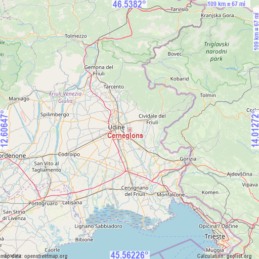
Cerneglons GPS coordinates[2]
46° 3' 8.604" North, 13° 18' 34.524" East
| Map corner | latitude | longitude |
|---|---|---|
| Upper-left | 46.5382°, | 12.60647° |
| Center: | 46.05239°, | 13.30959° |
| Lower-right: | 45.56226°, | 14.01272° |
| Map W x H: | 108.5×108.5 km | = 67.4×67.4mi |
| max Lat: | 47.04031° ⇑6.9% North |
| Cerneglons: | 46.05239° |
| min Lat: | ⇓93.1% South 35.50142° |
| min Long | Cerneglons | max Long |
| 6.69888° | 13.30959° | 18.48682° |
| W 71.5%⇐ | ⇒28.5% E |
Elevation
Elevation of Cerneglons is 97 m = 318 ft, and this is 209.7 m = 688 ft below average elevation for this country.
| Max E: |
2085 m = 6841 ft | 70% |
| Avg. | 306.7 m = 1006 ft | |
| Cerneglons | 97 m = 318 ft | |
Min E: |
-4 m = -13 ft | 30% |
See also: Italy elevation on elevation.city.
Geographical zone
Cerneglons is located in North temperate zone (between Tropic of Cancer and the Arctic Circle). Distance of this North polar circle is 2280.6 km =1417.1 mi to North.| Distance of | km | miles | from Cerneglons |
|---|---|---|---|
| North Pole | 4886.5 | 3036.3 | to North |
| Arctic Circle | 2280.6 | 1417.1 | to North |
| Tropic Cancer | 2514.6 | 1562.5 | to South |
| Equator | 5120.5 | 3181.7 | to South |


Nearby cities:
15 places around Cerneglons: (largest is in red/bold)
• Basaldella
7.7 km =4.8 mi,  247°
247°
• Buttrio
5 km =3.1 mi,  158°
158°
• Cargnacco
7.9 km =4.9 mi,  226°
226°
• Ipplis
7.8 km =4.8 mi,  97°
97°
• Lumignacco
7.8 km =4.8 mi,  219°
219°
• Moimacco
6.5 km =4 mi,  48°
48°
• Orsaria
5.8 km =3.6 mi,  105°
105°
• Orzano
3.2 km =2 mi,  60°
60°
• Pavia di Udine
6.4 km =4 mi,  184°
184°
• Povoletto
7.2 km =4.5 mi,  348°
348°
• Pradamano
2.1 km =1.3 mi,  195°
195°
• Premariacco
6.6 km =4.1 mi,  81°
81°
• Remanzacco
3.8 km =2.4 mi,  16°
16°
• Udine
5.9 km =3.7 mi,  288°
288°
• Ziracco
7.1 km =4.4 mi, 21°
Sources, notices
• [Note1] Compared only with cities in Italy existing in our database
• [Src1] Map data: © OpenStreetMap contributors (CC-BY-SA)
• [Src2] Other city data from geonames.org with taken over terms of usage.
• [Src3] Geographical zone / Annual Mean Temperature by Robert A. Rohde @ Wikipedia
