Valgoglio geodata
Valgoglio (Lombardy) is a seat of a third-order administrative division; located in Italy in Europe/Rome (GMT+2) time zone. With population of 345 people, there are 10499 cities with bigger population in this country. Compared to other cities in Italy, 91.3% of cities are located further ↓South; 68.7% of cities are located further →East and 95.8% of cities have lower elevation than Valgoglio. Note1


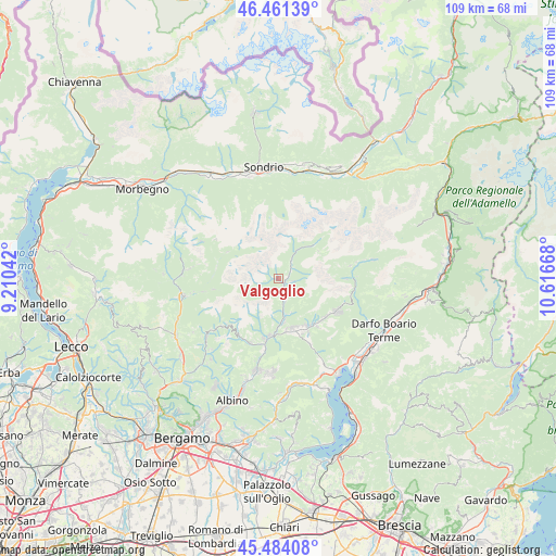
Valgoglio GPS coordinates[2]
45° 58' 29.604" North, 9° 54' 48.78" East
| Map corner | latitude | longitude |
|---|---|---|
| Upper-left | 46.46139°, | 9.21042° |
| Center: | 45.97489°, | 9.91355° |
| Lower-right: | 45.48408°, | 10.61668° |
| Map W x H: | 108.7×108.7 km | = 67.5×67.5mi |
| max Lat: | 47.04031° ⇑8.7% North |
| Valgoglio: | 45.97489° |
| min Lat: | ⇓91.3% South 35.50142° |
| min Long | Valgoglio | max Long |
| 6.69888° | 9.91355° | 18.48682° |
| W 31.3%⇐ | ⇒68.7% E |
Elevation
Elevation of Valgoglio is 916 m = 3005 ft, and this is 609.3 m = 1999 ft above average elevation for this country.
| Max E: |
2085 m = 6841 ft | 4.2% |
| Valgoglio | 916 m 3005 ft | |
| Avg. | 306.7 m = 1006 ft | |
Min E: |
-4 m = -13 ft | 95.8% |
See also: Italy elevation on elevation.city.
Geographical zone
Valgoglio is located in North temperate zone (between Tropic of Cancer and the Arctic Circle). Distance of this North polar circle is 2289.2 km =1422.4 mi to North.| Distance of | km | miles | from Valgoglio |
|---|---|---|---|
| North Pole | 4895.1 | 3041.7 | to North |
| Arctic Circle | 2289.2 | 1422.4 | to North |
| Tropic Cancer | 2506 | 1557.2 | to South |
| Equator | 5111.9 | 3176.4 | to South |


Nearby cities:
15 places around Valgoglio: (largest is in red/bold)
• Ardesio
4.5 km =2.8 mi,  164°
164°
• Bondione
9.9 km =6.2 mi,  47°
47°
• Carona
11.2 km =7 mi,  297°
297°
• Clusone
10.1 km =6.3 mi,  165°
165°
• Fino del Monte
11.1 km =6.9 mi,  145°
145°
• Gandellino
3.1 km =1.9 mi, 54°
• Gromo
1.8 km =1.1 mi, 145°
• Oltressenda Alta
7.1 km =4.4 mi, 159°
• Onore
11.9 km =7.4 mi,  140°
140°
• Parre
11.3 km =7 mi,  188°
188°
• Piario
8.8 km =5.5 mi, 173°
• Premolo
12 km =7.5 mi, 194°
• Rovetta
10.7 km =6.6 mi, 150°
• San Lorenzo di Rovetta
11.6 km =7.2 mi, 155°
• Villa d'Ogna
7.9 km =4.9 mi, 170°
Sources, notices
• [Note1] Compared only with cities in Italy existing in our database
• [Src1] Map data: © OpenStreetMap contributors (CC-BY-SA)
• [Src2] Other city data from geonames.org with taken over terms of usage.
• [Src3] Geographical zone / Annual Mean Temperature by Robert A. Rohde @ Wikipedia
