Soraga geodata
Soraga (Trentino-Alto Adige) is a seat of a third-order administrative division; located in Italy in Europe/Rome (GMT+2) time zone. With population of 713 people, there are 8204 cities with bigger population in this country. Compared to other cities in Italy, 97.6% of cities are located further ↓South; 51.4% of cities are located further ←West and 98.7% of cities have lower elevation than Soraga. Note1
Administrative division(s):
- Level 1: Trentino-Alto Adige
- Level 2: Provincia autonoma di Trento
- Level 3: Soraga


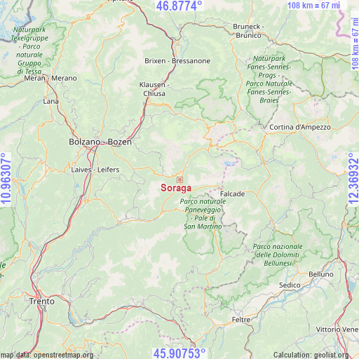
Soraga GPS coordinates[2]
46° 23' 40.632" North, 11° 39' 58.284" East
| Map corner | latitude | longitude |
|---|---|---|
| Upper-left | 46.8774°, | 10.96307° |
| Center: | 46.39462°, | 11.66619° |
| Lower-right: | 45.90753°, | 12.36932° |
| Map W x H: | 107.8×107.8 km | = 67×67mi |
| max Lat: | 47.04031° ⇑2.4% North |
| Soraga: | 46.39462° |
| min Lat: | ⇓97.6% South 35.50142° |
| min Long | Soraga | max Long |
| 6.69888° | 11.66619° | 18.48682° |
| W 51.4%⇐ | ⇒48.6% E |
Elevation
Elevation of Soraga is 1215 m = 3986 ft, and this is 908.3 m = 2980 ft above average elevation for this country.
| Max E: |
2085 m = 6841 ft | 1.3% |
| Soraga | 1215 m 3986 ft | |
| Avg. | 306.7 m = 1006 ft | |
Min E: |
-4 m = -13 ft | 98.7% |
See also: Italy elevation on elevation.city.
Geographical zone
Soraga is located in North temperate zone (between Tropic of Cancer and the Arctic Circle). Distance of this North polar circle is 2242.6 km =1393.5 mi to North.| Distance of | km | miles | from Soraga |
|---|---|---|---|
| North Pole | 4848.5 | 3012.7 | to North |
| Arctic Circle | 2242.6 | 1393.5 | to North |
| Tropic Cancer | 2552.7 | 1586.2 | to South |
| Equator | 5158.6 | 3205.4 | to South |


Nearby cities:
15 places around Soraga: (largest is in red/bold)
• Alba-Penia
12.3 km =7.6 mi,  55°
55°
• Campitello di Fassa
10.7 km =6.6 mi,  32°
32°
• Canazei
12 km =7.5 mi,  41°
41°
• Falcade Alto
15.3 km =9.5 mi,  106°
106°
• Mazzin
7.5 km =4.7 mi,  20°
20°
• Moena
2.1 km =1.3 mi,  194°
194°
• Nova Levante
10.4 km =6.5 mi,  291°
291°
• Panchià
15.4 km =9.6 mi,  218°
218°
• Pera
5.6 km =3.5 mi, 21°
• Pie' Falcade
16.3 km =10.1 mi,  104°
104°
• Pozza di Fassa
4 km =2.5 mi, 23°
• Predazzo
10.6 km =6.6 mi,  208°
208°
• Tires
13.4 km =8.3 mi,  307°
307°
• Vigo di Fassa
2.8 km =1.7 mi,  12°
12°
• Ziano di Fiemme
14.4 km =8.9 mi, 212°
Sources, notices
• [Note1] Compared only with cities in Italy existing in our database
• [Src1] Map data: © OpenStreetMap contributors (CC-BY-SA)
• [Src2] Other city data from geonames.org with taken over terms of usage.
• [Src3] Geographical zone / Annual Mean Temperature by Robert A. Rohde @ Wikipedia
