Solignano geodata
Solignano (Emilia-Romagna) is a seat of a third-order administrative division; located in Italy in Europe/Rome (GMT+2) time zone. With population of 744 people, there are 7987 cities with bigger population in this country. Compared to other cities in Italy, 52.7% of cities are located further ↓South; 68.1% of cities are located further →East and 53.5% of cities have lower elevation than Solignano. Note1


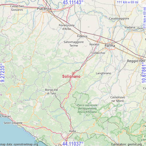
Solignano GPS coordinates[2]
44° 36' 47.016" North, 9° 58' 31.728" East
| Map corner | latitude | longitude |
|---|---|---|
| Upper-left | 45.11143°, | 9.27235° |
| Center: | 44.61306°, | 9.97548° |
| Lower-right: | 44.11037°, | 10.67861° |
| Map W x H: | 111.3×111.3 km | = 69.2×69.2mi |
| max Lat: | 47.04031° ⇑47.3% North |
| Solignano: | 44.61306° |
| min Lat: | ⇓52.7% South 35.50142° |
| min Long | Solignano | max Long |
| 6.69888° | 9.97548° | 18.48682° |
| W 31.9%⇐ | ⇒68.1% E |
Elevation
Elevation of Solignano is 256 m = 840 ft, and this is 50.7 m = 166 ft below average elevation for this country.
| Max E: |
2085 m = 6841 ft | 46.5% |
| Avg. | 306.7 m = 1006 ft | |
| Solignano | 256 m = 840 ft | |
Min E: |
-4 m = -13 ft | 53.5% |
See also: Italy elevation on elevation.city.
Geographical zone
Solignano is located in North temperate zone (between Tropic of Cancer and the Arctic Circle). Distance of this Northern Tropic circle is 2354.6 km =1463.1 mi to South.| Distance of | km | miles | from Solignano |
|---|---|---|---|
| North Pole | 5046.6 | 3135.8 | to North |
| Arctic Circle | 2440.7 | 1516.6 | to North |
| Tropic Cancer | 2354.6 | 1463.1 | to South |
| Equator | 4960.5 | 3082.3 | to South |


Nearby cities:
15 places around Solignano: (largest is in red/bold)
• Berceto
11.6 km =7.2 mi,  173°
173°
• Calestano
11.8 km =7.3 mi,  95°
95°
• Felegara
16.3 km =10.1 mi,  41°
41°
• Fornovo di Taro
13.5 km =8.4 mi,  47°
47°
• Marzolara
15.8 km =9.8 mi,  81°
81°
• Ozzano Taro
16.9 km =10.5 mi, 50°
• Pellegrino Parmense
13.4 km =8.3 mi,  345°
345°
• Ramiola
13.4 km =8.3 mi, 43°
• Riccò
15.1 km =9.4 mi, 49°
• Salita-Riola
11.9 km =7.4 mi, 54°
• Sant'Andrea Bagni
15.1 km =9.4 mi, 36°
• Stazione Valmozzola
4.6 km =2.9 mi,  214°
214°
• Terenzo
9 km =5.6 mi,  91°
91°
• Varano De' Melegari
8.8 km =5.5 mi,  18°
18°
• Varsi
11.4 km =7.1 mi,  298°
298°
Sources, notices
• [Note1] Compared only with cities in Italy existing in our database
• [Src1] Map data: © OpenStreetMap contributors (CC-BY-SA)
• [Src2] Other city data from geonames.org with taken over terms of usage.
• [Src3] Geographical zone / Annual Mean Temperature by Robert A. Rohde @ Wikipedia
