Gragnola geodata
Gragnola (Tuscany) is a populated place; located in Italy in Europe/Rome (GMT+2) time zone. With population of 576 people, there are 9217 cities with bigger population in this country. Compared to other cities in Italy, 52.8% of cities are located further ↑North; 66.8% of cities are located further →East and 60.4% of cities have higher elevation than Gragnola. Note1


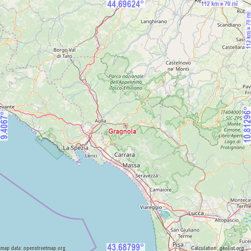
Gragnola GPS coordinates[2]
44° 11' 39.372" North, 10° 6' 35.388" East
| Map corner | latitude | longitude |
|---|---|---|
| Upper-left | 44.69624°, | 9.4067° |
| Center: | 44.19427°, | 10.10983° |
| Lower-right: | 43.68799°, | 10.81296° |
| Map W x H: | 112.1×112.1 km | = 69.7×69.7mi |
| max Lat: | 47.04031° ⇑52.8% North |
| Gragnola: | 44.19427° |
| min Lat: | ⇓47.2% South 35.50142° |
| min Long | Gragnola | max Long |
| 6.69888° | 10.10983° | 18.48682° |
| W 33.2%⇐ | ⇒66.8% E |
Elevation
Elevation of Gragnola is 160 m = 525 ft, and this is 146.7 m = 481 ft below average elevation for this country.
| Max E: |
2085 m = 6841 ft | 60.4% |
| Avg. | 306.7 m = 1006 ft | |
| Gragnola | 160 m = 525 ft | |
Min E: |
-4 m = -13 ft | 39.6% |
See also: Italy elevation on elevation.city.
Geographical zone
Gragnola is located in North temperate zone (between Tropic of Cancer and the Arctic Circle). Distance of this Northern Tropic circle is 2308 km =1434.1 mi to South.| Distance of | km | miles | from Gragnola |
|---|---|---|---|
| North Pole | 5093.1 | 3164.7 | to North |
| Arctic Circle | 2487.2 | 1545.5 | to North |
| Tropic Cancer | 2308 | 1434.1 | to South |
| Equator | 4913.9 | 3053.4 | to South |


Nearby cities:
15 places around Gragnola: (largest is in red/bold)
• Aulla
10.6 km =6.6 mi,  277°
277°
• Casola in Lunigiana
5.4 km =3.4 mi,  82°
82°
• Comano
11.1 km =6.9 mi,  8°
8°
• Fivizzano
5 km =3.1 mi,  15°
15°
• Fosdinovo
10 km =6.2 mi,  227°
227°
• Giuncugnano
11.1 km =6.9 mi, 80°
• Gorfigliano
12.3 km =7.6 mi,  115°
115°
• Gragnana
10.7 km =6.6 mi,  190°
190°
• Licciana Nardi
9.7 km =6 mi,  323°
323°
• Masero
11.7 km =7.3 mi,  288°
288°
• Minucciano
8.3 km =5.2 mi,  109°
109°
• Monti
10.1 km =6.3 mi,  306°
306°
• Monzone
3.6 km =2.2 mi,  157°
157°
• Pallerone
8.6 km =5.3 mi, 277°
• Torano
11.3 km =7 mi,  182°
182°
Sources, notices
• [Note1] Compared only with cities in Italy existing in our database
• [Src1] Map data: © OpenStreetMap contributors (CC-BY-SA)
• [Src2] Other city data from geonames.org with taken over terms of usage.
• [Src3] Geographical zone / Annual Mean Temperature by Robert A. Rohde @ Wikipedia
