Licciana Nardi geodata
Licciana Nardi (Tuscany) is a seat of a third-order administrative division; located in Italy in Europe/Rome (GMT+2) time zone. With population of 664 people, there are 8532 cities with bigger population in this country. Compared to other cities in Italy, 52.2% of cities are located further ↑North; 67.5% of cities are located further →East and 53.9% of cities have higher elevation than Licciana Nardi. Note1
Administrative division(s):
- Level 1: Tuscany
- Level 2: Provincia di Massa-Carrara
- Level 3: Licciana Nardi


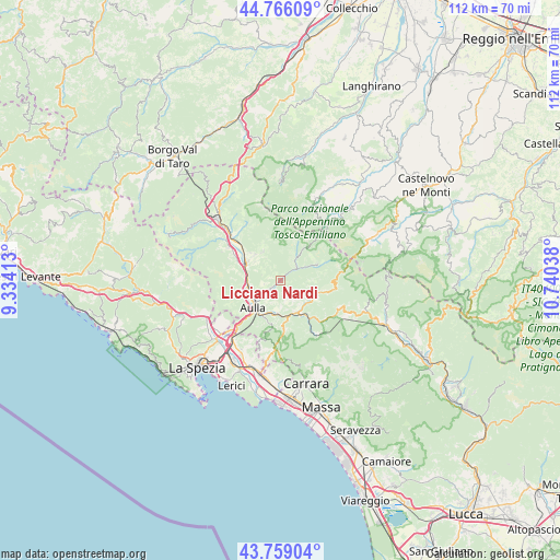
Licciana Nardi GPS coordinates[2]
44° 15' 52.992" North, 10° 2' 14.1" East
| Map corner | latitude | longitude |
|---|---|---|
| Upper-left | 44.76609°, | 9.33413° |
| Center: | 44.26472°, | 10.03725° |
| Lower-right: | 43.75904°, | 10.74038° |
| Map W x H: | 112×112 km | = 69.6×69.6mi |
| max Lat: | 47.04031° ⇑52.2% North |
| Licciana Nardi: | 44.26472° |
| min Lat: | ⇓47.8% South 35.50142° |
| min Long | Licciana Nardi | max Long |
| 6.69888° | 10.03725° | 18.48682° |
| W 32.5%⇐ | ⇒67.5% E |
Elevation
Elevation of Licciana Nardi is 210 m = 689 ft, and this is 96.7 m = 317 ft below average elevation for this country.
| Max E: |
2085 m = 6841 ft | 53.9% |
| Avg. | 306.7 m = 1006 ft | |
| Licciana Nardi | 210 m = 689 ft | |
Min E: |
-4 m = -13 ft | 46.1% |
See also: Italy elevation on elevation.city.
Geographical zone
Licciana Nardi is located in North temperate zone (between Tropic of Cancer and the Arctic Circle). Distance of this Northern Tropic circle is 2315.9 km =1439 mi to South.| Distance of | km | miles | from Licciana Nardi |
|---|---|---|---|
| North Pole | 5085.3 | 3159.9 | to North |
| Arctic Circle | 2479.4 | 1540.6 | to North |
| Tropic Cancer | 2315.9 | 1439 | to South |
| Equator | 4921.8 | 3058.3 | to South |


Nearby cities:
15 places around Licciana Nardi: (largest is in red/bold)
• Aulla
8 km =5 mi,  215°
215°
• Bagnone
6.5 km =4 mi,  328°
328°
• Barbarasco
7.7 km =4.8 mi,  250°
250°
• Comano
8.1 km =5 mi,  66°
66°
• Filattiera
11 km =6.8 mi,  311°
311°
• Fivizzano
7.7 km =4.8 mi,  112°
112°
• Gragnola
9.7 km =6 mi,  143°
143°
• Masero
6.8 km =4.2 mi,  232°
232°
• Montale
9.8 km =6.1 mi, 228°
• Monti
2.9 km =1.8 mi, 231°
• Pallerone
7.2 km =4.5 mi,  202°
202°
• Podenzana
10 km =6.2 mi, 229°
• Terrarossa
7 km =4.3 mi,  240°
240°
• Tresana
10 km =6.2 mi,  263°
263°
• Villafranca in Lunigiana
7.7 km =4.8 mi,  299°
299°
Sources, notices
• [Note1] Compared only with cities in Italy existing in our database
• [Src1] Map data: © OpenStreetMap contributors (CC-BY-SA)
• [Src2] Other city data from geonames.org with taken over terms of usage.
• [Src3] Geographical zone / Annual Mean Temperature by Robert A. Rohde @ Wikipedia
