Roreto geodata
Roreto (Piedmont) is a populated place; located in Italy in Europe/Rome (GMT+2) time zone. With population of 2,031 people, there are 4103 cities with bigger population in this country. Compared to other cities in Italy, 53.7% of cities are located further ↓South; 95.3% of cities are located further →East and 58.4% of cities have lower elevation than Roreto. Note1


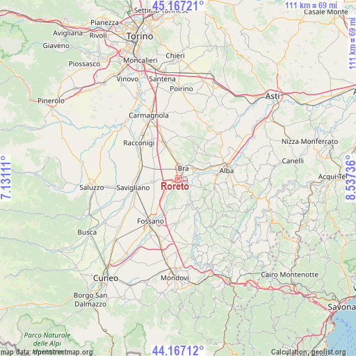
Roreto GPS coordinates[2]
44° 40' 9.552" North, 7° 50' 3.228" East
| Map corner | latitude | longitude |
|---|---|---|
| Upper-left | 45.16721°, | 7.13111° |
| Center: | 44.66932°, | 7.83423° |
| Lower-right: | 44.16712°, | 8.53736° |
| Map W x H: | 111.2×111.2 km | = 69.1×69.1mi |
| max Lat: | 47.04031° ⇑46.3% North |
| Roreto: | 44.66932° |
| min Lat: | ⇓53.7% South 35.50142° |
| min Long | Roreto | max Long |
| 6.69888° | 7.83423° | 18.48682° |
| W 4.7%⇐ | ⇒95.3% E |
Elevation
Elevation of Roreto is 288 m = 945 ft, and this is 18.7 m = 61 ft below average elevation for this country.
| Max E: |
2085 m = 6841 ft | 41.6% |
| Avg. | 306.7 m = 1006 ft | |
| Roreto | 288 m = 945 ft | |
Min E: |
-4 m = -13 ft | 58.4% |
See also: Italy elevation on elevation.city.
Geographical zone
Roreto is located in North temperate zone (between Tropic of Cancer and the Arctic Circle). Distance of this Northern Tropic circle is 2360.8 km =1466.9 mi to South.| Distance of | km | miles | from Roreto |
|---|---|---|---|
| North Pole | 5040.3 | 3131.9 | to North |
| Arctic Circle | 2434.4 | 1512.7 | to North |
| Tropic Cancer | 2360.8 | 1466.9 | to South |
| Equator | 4966.8 | 3086.2 | to South |


Nearby cities:
15 places around Roreto: (largest is in red/bold)
• Bandito
6 km =3.7 mi,  352°
352°
• Borgo San Martino
5.4 km =3.4 mi,  50°
50°
• Bra
3.4 km =2.1 mi,  23°
23°
• Bricco Favole
2.4 km =1.5 mi,  227°
227°
• Cervere
5.3 km =3.3 mi,  222°
222°
• Cherasco
3.4 km =2.1 mi,  146°
146°
• Cinzano
7.4 km =4.6 mi,  68°
68°
• La Morra
8.4 km =5.2 mi,  114°
114°
• Marene
8 km =5 mi,  263°
263°
• Narzole
8.7 km =5.4 mi,  162°
162°
• Pocapaglia
6.4 km =4 mi,  37°
37°
• Pollenzo
5.2 km =3.2 mi, 68°
• Santa Vittoria d'Alba
8.8 km =5.5 mi, 68°
• Verduno
7.6 km =4.7 mi,  92°
92°
• Villa-Borgo
8.6 km =5.3 mi, 67°
Sources, notices
• [Note1] Compared only with cities in Italy existing in our database
• [Src1] Map data: © OpenStreetMap contributors (CC-BY-SA)
• [Src2] Other city data from geonames.org with taken over terms of usage.
• [Src3] Geographical zone / Annual Mean Temperature by Robert A. Rohde @ Wikipedia
