Zoppè di Cadore geodata
Zoppè di Cadore (Veneto) is a seat of a third-order administrative division; located in Italy in Europe/Rome (GMT+2) time zone. With population of 265 people, there are 10827 cities with bigger population in this country. Compared to other cities in Italy, 97.5% of cities are located further ↓South; 58.3% of cities are located further ←West and 99.6% of cities have lower elevation than Zoppè di Cadore. Note1


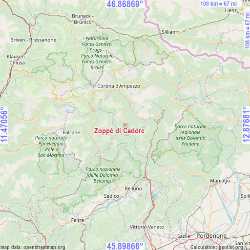
Zoppè di Cadore GPS coordinates[2]
46° 23' 8.988" North, 12° 10' 25.248" East
| Map corner | latitude | longitude |
|---|---|---|
| Upper-left | 46.86869°, | 11.47056° |
| Center: | 46.38583°, | 12.17368° |
| Lower-right: | 45.89866°, | 12.87681° |
| Map W x H: | 107.9×107.9 km | = 67×67mi |
| max Lat: | 47.04031° ⇑2.5% North |
| Zoppè di Cadore: | 46.38583° |
| min Lat: | ⇓97.5% South 35.50142° |
| min Long | Zoppè di Cador | max Long |
| 6.69888° | 12.17368° | 18.48682° |
| W 58.3%⇐ | ⇒41.7% E |
Elevation
Elevation of Zoppè di Cadore is 1443 m = 4734 ft, and this is 1136.3 m = 3728 ft above average elevation for this country.
| Max E: |
2085 m = 6841 ft | 0.40000000000001% |
| Zoppè di Cadore | 1443 m 4734 ft | |
| Avg. | 306.7 m = 1006 ft | |
Min E: |
-4 m = -13 ft | 99.6% |
See also: Italy elevation on elevation.city.
Geographical zone
Zoppè di Cadore is located in North temperate zone (between Tropic of Cancer and the Arctic Circle). Distance of this North polar circle is 2243.6 km =1394.1 mi to North.| Distance of | km | miles | from Zoppè di Cadore |
|---|---|---|---|
| North Pole | 4849.4 | 3013.3 | to North |
| Arctic Circle | 2243.6 | 1394.1 | to North |
| Tropic Cancer | 2551.7 | 1585.6 | to South |
| Equator | 5157.6 | 3204.8 | to South |


Nearby cities:
15 places around Zoppè di Cadore: (largest is in red/bold)
• Alleghe
11.8 km =7.3 mi,  281°
281°
• Borca
6.6 km =4.1 mi,  34°
34°
• Bortolot
0 km =0 mi,  4°
4°
• Cibiana
8.7 km =5.4 mi,  87°
87°
• Forno di Zoldo
4 km =2.5 mi,  173°
173°
• Fusine
3.9 km =2.4 mi,  253°
253°
• La Valle Agordina
14.1 km =8.8 mi,  214°
214°
• Ospitale di Cadore
13.1 km =8.1 mi,  119°
119°
• Perarolo di Cadore
14 km =8.7 mi, 86°
• San Vito
8.9 km =5.5 mi,  16°
16°
• Selva di Cadore
11.5 km =7.1 mi,  308°
308°
• Valle di Cadore
12.8 km =8 mi,  73°
73°
• Venas
9.9 km =6.2 mi, 74°
• Vodo
6.6 km =4.1 mi,  56°
56°
• Zoldo Alto
3.8 km =2.4 mi, 251°
Sources, notices
• [Note1] Compared only with cities in Italy existing in our database
• [Src1] Map data: © OpenStreetMap contributors (CC-BY-SA)
• [Src2] Other city data from geonames.org with taken over terms of usage.
• [Src3] Geographical zone / Annual Mean Temperature by Robert A. Rohde @ Wikipedia
