Annotto Bay geodata
Annotto Bay (St. Mary) is a populated place; located in Jamaica in America/Jamaica (GMT-5) time zone. With population of 5,504 people, there are 29 cities with bigger population in this country. Compared to other cities in Jamaica, 69.2% of cities are located further ↓South; 82.4% of cities are located further ←West and 96.7% of cities have higher elevation than Annotto Bay. Note1


Annotto Bay GPS coordinates[2]
18° 16' 18.12" North, 76° 45' 54.828" West
| Map corner | latitude | longitude |
|---|---|---|
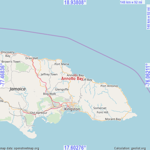
| Upper-left | 18.93808°, | -77.46836° |
| Center: | 18.2717°, | -76.76523° |
| Lower-right: | 17.60276°, | -76.06211° |
| Map W x H: | 148.5×148.5 km | = 92.3×92.3mi |
| max Lat: | 18.49358° ⇑30.8% North |
| Annotto Bay: | 18.2717° |
| min Lat: | ⇓69.2% South 17.774° |
| min Long | Annotto Bay | max Long |
| -78.3481° | -76.76523° | -76.24864° |
| W 82.4%⇐ | ⇒17.6% E |
Elevation
Elevation of Annotto Bay is 5 m = 16 ft, and this is 209.4 m = 687 ft below average elevation for this country.
| Max E: |
944 m = 3097 ft | 96.7% |
| Avg. | 214.4 m = 703 ft | |
| Annotto Bay | 5 m = 16 ft | |
Min E: |
1 m = 3 ft | 3.3% |
See also: Jamaica elevation on elevation.city.
Geographical zone
Annotto Bay is located in North Torrid zone (between Equator and Tropic of Cancer). Distance of this Northern Tropic circle is 574.3 km =356.9 mi to North.| Distance of | km | miles | from Annotto Bay |
|---|---|---|---|
| North Pole | 7975.4 | 4955.7 | to North |
| Arctic Circle | 5369.6 | 3336.5 | to North |
| Tropic Cancer | 574.3 | 356.9 | to North |
| Equator | 2031.6 | 1262.4 | to South |


Nearby cities:
15 places around Annotto Bay: (largest is in red/bold)
• Buff Bay
11.8 km =7.3 mi,  111°
111°
• Constant Spring
24.7 km =15.3 mi,  186°
186°
• Gayle
26.5 km =16.5 mi,  283°
283°
• Gordon Town
26.7 km =16.6 mi,  169°
169°
• Half Way Tree
29 km =18 mi, 187°
• Hope Bay
22.6 km =14 mi, 111°
• Islington
10.3 km =6.4 mi,  293°
293°
• Lucky Hill
26.2 km =16.3 mi, 279°
• Mavis Bank
28.5 km =17.7 mi,  158°
158°
• Mona Heights
28.7 km =17.8 mi,  177°
177°
• Oracabessa
24.1 km =15 mi,  307°
307°
• Port Maria
17 km =10.6 mi, 309°
• Richmond
13.1 km =8.1 mi,  261°
261°
• Riversdale
24.1 km =15 mi,  240°
240°
• Stony Hill
21.5 km =13.4 mi, 185°
Sources, notices
• [Note1] Compared only with cities in Jamaica existing in our database
• [Src1] Map data: © OpenStreetMap contributors (CC-BY-SA)
• [Src2] Other city data from geonames.org with taken over terms of usage.
• [Src3] Geographical zone / Annual Mean Temperature by Robert A. Rohde @ Wikipedia
