Oracabessa geodata
Oracabessa (St. Mary) is a populated place; located in Jamaica in America/Jamaica (GMT-5) time zone. With population of 4,100 people, there are 38 cities with bigger population in this country. Compared to other cities in Jamaica, 87.9% of cities are located further ↓South; 70.3% of cities are located further ←West and 68.1% of cities have higher elevation than Oracabessa. Note1


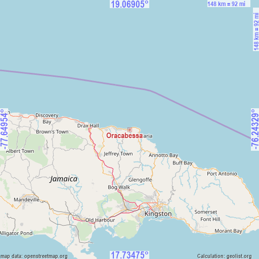
Oracabessa GPS coordinates[2]
18° 24' 11.484" North, 76° 56' 47.076" West
| Map corner | latitude | longitude |
|---|---|---|
| Upper-left | 19.06905°, | -77.64954° |
| Center: | 18.40319°, | -76.94641° |
| Lower-right: | 17.73475°, | -76.24329° |
| Map W x H: | 148.4×148.4 km | = 92.2×92.2mi |
| max Lat: | 18.49358° ⇑12.1% North |
| Oracabessa: | 18.40319° |
| min Lat: | ⇓87.9% South 17.774° |
| min Long | Oracabessa | max Long |
| -78.3481° | -76.94641° | -76.24864° |
| W 70.3%⇐ | ⇒29.7% E |
Elevation
Elevation of Oracabessa is 42 m = 138 ft, and this is 172.4 m = 566 ft below average elevation for this country.
| Max E: |
944 m = 3097 ft | 68.1% |
| Avg. | 214.4 m = 703 ft | |
| Oracabessa | 42 m = 138 ft | |
Min E: |
1 m = 3 ft | 31.9% |
See also: Jamaica elevation on elevation.city.
Geographical zone
Oracabessa is located in North Torrid zone (between Equator and Tropic of Cancer). Distance of this Northern Tropic circle is 559.7 km =347.8 mi to North.| Distance of | km | miles | from Oracabessa |
|---|---|---|---|
| North Pole | 7960.8 | 4946.6 | to North |
| Arctic Circle | 5354.9 | 3327.4 | to North |
| Tropic Cancer | 559.7 | 347.8 | to North |
| Equator | 2046.2 | 1271.4 | to South |


Nearby cities:
15 places around Oracabessa: (largest is in red/bold)
• Annotto Bay
24.1 km =15 mi,  127°
127°
• Bamboo
33.6 km =20.9 mi,  267°
267°
• Bog Walk
34.1 km =21.2 mi,  190°
190°
• Buff Bay
35.6 km =22.1 mi,  122°
122°
• Ewarton
28.5 km =17.7 mi,  210°
210°
• Gayle
10.8 km =6.7 mi,  218°
218°
• Islington
14.2 km =8.8 mi,  137°
137°
• Linstead
31 km =19.3 mi,  196°
196°
• Lucky Hill
12.3 km =7.6 mi, 213°
• Moneague
22.5 km =14 mi,  230°
230°
• Ocho Rios
16.5 km =10.3 mi, 271°
• Port Maria
7.1 km =4.4 mi, 122°
• Richmond
17.6 km =10.9 mi,  159°
159°
• Riversdale
26.5 km =16.5 mi,  184°
184°
• Saint Ann’s Bay
27.1 km =16.8 mi,  277°
277°
Sources, notices
• [Note1] Compared only with cities in Jamaica existing in our database
• [Src1] Map data: © OpenStreetMap contributors (CC-BY-SA)
• [Src2] Other city data from geonames.org with taken over terms of usage.
• [Src3] Geographical zone / Annual Mean Temperature by Robert A. Rohde @ Wikipedia
