Petra geodata
Petra (Ma’an) is a seat of a second-order administrative division; located in Jordan in Asia/Amman (GMT+3) time zone. With population of 14,000 people, there are 29 cities with bigger population in this country. Compared to other cities in Jordan, 92.8% of cities are located further ↑North; 95.7% of cities are located further →East and 94.9% of cities have lower elevation than Petra. Note1


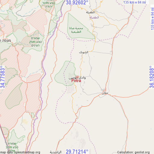
Petra GPS coordinates[2]
30° 19' 15.456" North, 35° 28' 44.22" East
| Map corner | latitude | longitude |
|---|---|---|
| Upper-left | 30.92602°, | 34.77583° |
| Center: | 30.32096°, | 35.47895° |
| Lower-right: | 29.71214°, | 36.18208° |
| Map W x H: | 135×135 km | = 83.9×83.9mi |
| max Lat: | 33.31405° ⇑92.8% North |
| Petra: | 30.32096° |
| min Lat: | ⇓7.2% South 29.40842° |
| min Long | Petra | max Long |
| 34.97918° | 35.47895° | 38.70342° |
| W 4.3%⇐ | ⇒95.7% E |
Elevation
Elevation of Petra is 1127 m = 3698 ft, and this is 441.3 m = 1448 ft above average elevation for this country.
| Max E: |
1440 m = 4724 ft | 5.1% |
| Petra | 1127 m 3698 ft | |
| Avg. | 685.7 m = 2250 ft | |
Min E: |
-366 m = -1201 ft | 94.9% |
See also: Jordan elevation on elevation.city.
Geographical zone
Petra is located in North temperate zone (between Tropic of Cancer and the Arctic Circle). Distance of this Northern Tropic circle is 765.5 km =475.7 mi to South.| Distance of | km | miles | from Petra |
|---|---|---|---|
| North Pole | 6635.7 | 4123.2 | to North |
| Arctic Circle | 4029.8 | 2504 | to North |
| Tropic Cancer | 765.5 | 475.7 | to South |
| Equator | 3371.4 | 2094.9 | to South |


Nearby cities:
15 places around Petra: (largest is in red/bold)
• Ad Dīsah
74.4 km =46.2 mi,  177°
177°
• Adhruḩ
11.3 km =7 mi,  84°
84°
• Al Jafr
67.1 km =41.7 mi,  90°
90°
• Al Murayghah
25.5 km =15.8 mi,  170°
170°
• Al Quwayrah
60.1 km =37.3 mi,  195°
195°
• Al Ḩasā
73.1 km =45.4 mi,  40°
40°
• Al Ḩusaynīyah
43.1 km =26.8 mi, 44°
• Ar Rīshah
27.4 km =17 mi,  246°
246°
• Ash Shawbak
24 km =14.9 mi,  21°
21°
• Ayl
13.9 km =8.6 mi,  156°
156°
• Aţ Ţafīlah
58.7 km =36.5 mi,  11°
11°
• Aţ Ţayyibah
7.9 km =4.9 mi,  189°
189°
• Buşayrā
47.4 km =29.5 mi, 15°
• Ma'an
28.2 km =17.5 mi,  119°
119°
• Safi
79.5 km =49.4 mi,  359°
359°
Sources, notices
• [Note1] Compared only with cities in Jordan existing in our database
• [Src1] Map data: © OpenStreetMap contributors (CC-BY-SA)
• [Src2] Other city data from geonames.org with taken over terms of usage.
• [Src3] Geographical zone / Annual Mean Temperature by Robert A. Rohde @ Wikipedia
