Malkā geodata
Malkā (Irbid) is a populated place; located in Jordan in Asia/Amman (GMT+3) time zone. With population of 6,856 people, there are 49 cities with bigger population in this country. Compared to other cities in Jordan, 97.8% of cities are located further ↓South; 63% of cities are located further →East and 85.5% of cities have higher elevation than Malkā. Note1


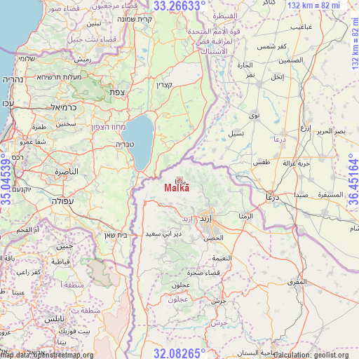
Malkā GPS coordinates[2]
32° 40' 35.22" North, 35° 44' 54.636" East
| Map corner | latitude | longitude |
|---|---|---|
| Upper-left | 33.26633°, | 35.04539° |
| Center: | 32.67645°, | 35.74851° |
| Lower-right: | 32.08265°, | 36.45164° |
| Map W x H: | 131.6×131.6 km | = 81.8×81.8mi |
| max Lat: | 33.31405° ⇑2.2% North |
| Malkā: | 32.67645° |
| min Lat: | ⇓97.8% South 29.40842° |
| min Long | Malkā | max Long |
| 34.97918° | 35.74851° | 38.70342° |
| W 37%⇐ | ⇒63% E |
Elevation
Elevation of Malkā is 420 m = 1378 ft, and this is 265.7 m = 872 ft below average elevation for this country.
| Max E: |
1440 m = 4724 ft | 85.5% |
| Avg. | 685.7 m = 2250 ft | |
| Malkā | 420 m = 1378 ft | |
Min E: |
-366 m = -1201 ft | 14.5% |
See also: Jordan elevation on elevation.city.
Geographical zone
Malkā is located in North temperate zone (between Tropic of Cancer and the Arctic Circle). Distance of this Northern Tropic circle is 1027.4 km =638.4 mi to South.| Distance of | km | miles | from Malkā |
|---|---|---|---|
| North Pole | 6373.8 | 3960.5 | to North |
| Arctic Circle | 3767.9 | 2341.3 | to North |
| Tropic Cancer | 1027.4 | 638.4 | to South |
| Equator | 3633.3 | 2257.6 | to South |


Nearby cities:
15 places around Malkā: (largest is in red/bold)
• Ash Shūnah ash Shamālīyah
14 km =8.7 mi,  243°
243°
• Aţ Ţayyibah
15.1 km =9.4 mi,  191°
191°
• Bayt Yāfā
17.5 km =10.9 mi,  168°
168°
• Irbid
16.5 km =10.3 mi,  144°
144°
• Kafr Asad
9.3 km =5.8 mi,  201°
201°
• Kafr Sawm
5 km =3.1 mi,  78°
78°
• Kharjā
13.2 km =8.2 mi,  98°
98°
• Qumaym
11.7 km =7.3 mi, 186°
• Sammā ar Rawsān
8.5 km =5.3 mi,  120°
120°
• Saḩam al Kaffārāt
3.4 km =2.1 mi,  44°
44°
• Umm Qays
6.5 km =4 mi,  246°
246°
• Zaḩar
12.5 km =7.8 mi, 167°
• Şammā
12.9 km =8 mi,  205°
205°
• Ḩakamā
15.6 km =9.7 mi,  126°
126°
• Ḩātim
4.4 km =2.7 mi, 142°
Sources, notices
• [Note1] Compared only with cities in Jordan existing in our database
• [Src1] Map data: © OpenStreetMap contributors (CC-BY-SA)
• [Src2] Other city data from geonames.org with taken over terms of usage.
• [Src3] Geographical zone / Annual Mean Temperature by Robert A. Rohde @ Wikipedia
