Yugawara geodata
Yugawara (Kanagawa) is a populated place; located in Japan in Asia/Tokyo (GMT+9) time zone. With population of 27,567 people, there are 574 cities with bigger population in this country. Compared to other cities in Japan, 55.1% of cities are located further ↑North; 61.4% of cities are located further ←West and 88.5% of cities have lower elevation than Yugawara. Note1


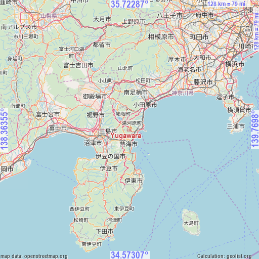
Yugawara GPS coordinates[2]
35° 9' 0" North, 139° 4' 0.012" East
| Map corner | latitude | longitude |
|---|---|---|
| Upper-left | 35.72287°, | 138.36355° |
| Center: | 35.15°, | 139.06667° |
| Lower-right: | 34.57307°, | 139.7698° |
| Map W x H: | 127.8×127.8 km | = 79.4×79.4mi |
| max Lat: | 45.40944° ⇑55.1% North |
| Yugawara: | 35.15° |
| min Lat: | ⇓44.9% South 24.34478° |
| min Long | Yugawara | max Long |
| 123° | 139.06667° | 145.575° |
| W 61.4%⇐ | ⇒38.6% E |
Elevation
Elevation of Yugawara is 204 m = 669 ft, and this is 119.4 m = 392 ft above average elevation for this country.
| Max E: |
1086 m = 3563 ft | 11.5% |
| Yugawara | 204 m 669 ft | |
| Avg. | 84.6 m = 278 ft | |
Min E: |
-2 m = -7 ft | 88.5% |
See also: Japan elevation on elevation.city.
Geographical zone
Yugawara is located in North temperate zone (between Tropic of Cancer and the Arctic Circle). Distance of this Northern Tropic circle is 1302.4 km =809.3 mi to South.| Distance of | km | miles | from Yugawara |
|---|---|---|---|
| North Pole | 6098.7 | 3789.6 | to North |
| Arctic Circle | 3492.9 | 2170.4 | to North |
| Tropic Cancer | 1302.4 | 809.3 | to South |
| Equator | 3908.3 | 2428.5 | to South |


Nearby cities:
15 places around Yugawara: (largest is in red/bold)
• Atami
7 km =4.3 mi,  190°
190°
• Gotenba
21.8 km =13.5 mi,  329°
329°
• Hadano
28.4 km =17.6 mi,  30°
30°
• Hakone
5.7 km =3.5 mi,  320°
320°
• Itō
20.4 km =12.7 mi,  175°
175°
• Izu
22.7 km =14.1 mi,  208°
208°
• Izunokuni
16.2 km =10.1 mi,  220°
220°
• Minamiashigara
19.2 km =11.9 mi,  11°
11°
• Mishima
14.1 km =8.8 mi,  254°
254°
• Ninomiya
24.1 km =15 mi,  45°
45°
• Numazu
19 km =11.8 mi, 253°
• Odawara
14.5 km =9 mi,  35°
35°
• Susono
14.8 km =9.2 mi,  280°
280°
• Yamakita
23.8 km =14.8 mi,  2°
2°
• Ōiso
29.2 km =18.1 mi, 50°
Sources, notices
• [Note1] Compared only with cities in Japan existing in our database
• [Src1] Map data: © OpenStreetMap contributors (CC-BY-SA)
• [Src2] Other city data from geonames.org with taken over terms of usage.
• [Src3] Geographical zone / Annual Mean Temperature by Robert A. Rohde @ Wikipedia
